Fish Mapping
SATELLITE FEATURES

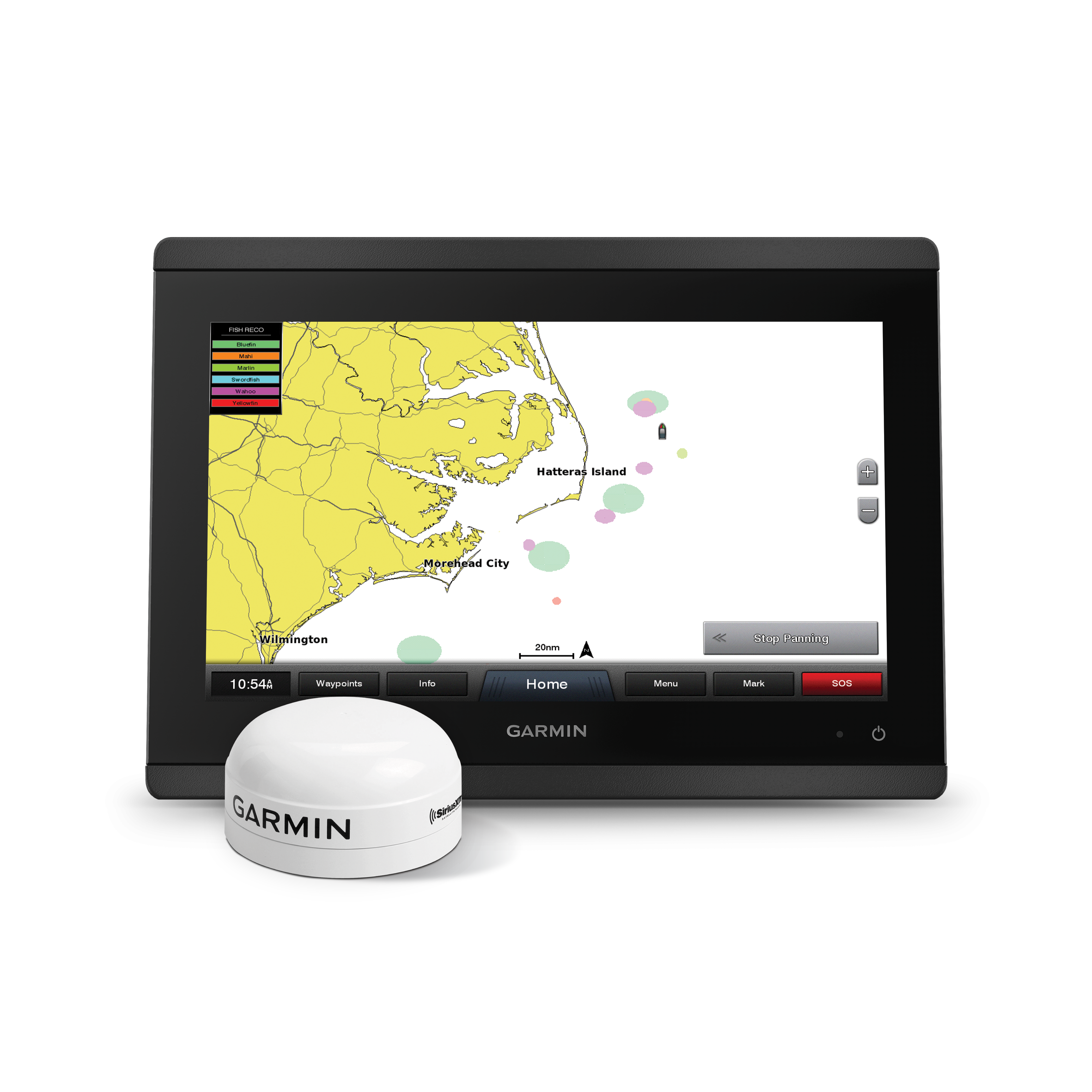
Turn your boat’s display into a fish-finding tool. Fish Mapping delivers regularly updated, science-based data directly to your MFD, helping you locate the most promising fishing zones and maximize your time offshore. The satellite service also includes all of SiriusXM Marine’s Offshore weather features to keep you informed. Hardware required.


To view SiriusXM Marines’ coverage area, visit here.

Select each feature to learn more

HARDWARE

Hardware

Compatible hardware required for satellite service. Hardware sold separately.
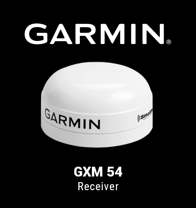
  • Garmin GXM 54 Receiver

    Garmin Receiver

    Garmin users can access Fish Mapping with a Garmin GXM™ 54 Receiver and a compatible Garmin display with updated software.
    Compatible Displays

    GPSmap 74xx/76xx and newer displays including:
    • 74xx/76xx
    • 84xx/86xx
    • 7x2/9x2
    • 10x2/12x2/12x2t
    • 86xx xsv
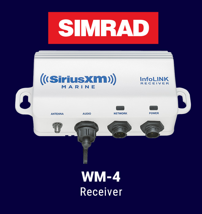
  • Simrad WM-4 Receiver

    Simrad Receiver

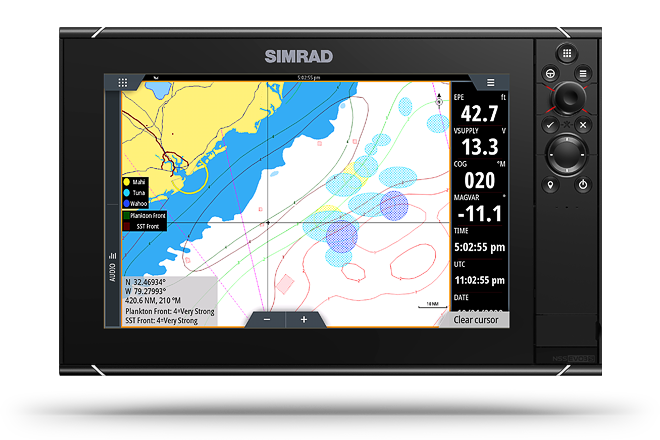
    Simrad users can access Fish Mapping with a WM-4 Receiver and a compatible Simrad display with updated software.
    Compatible Displays

    NSS Evo3
    NSO Evo3
    NSS Evo3S
    NSO Evo3S
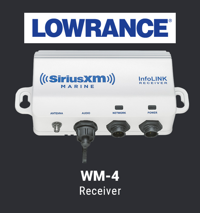
  • Lowrance WM-4 Receiver

    Lowrance Receiver

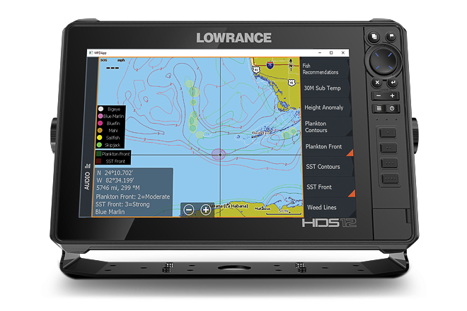
    Lowrance users can access Fish Mapping with a WM-4 Receiver and a compatible Lowrance display with updated software.
    Compatible Displays

    Elite FS
    HDS Carbon
    HDS LIVE
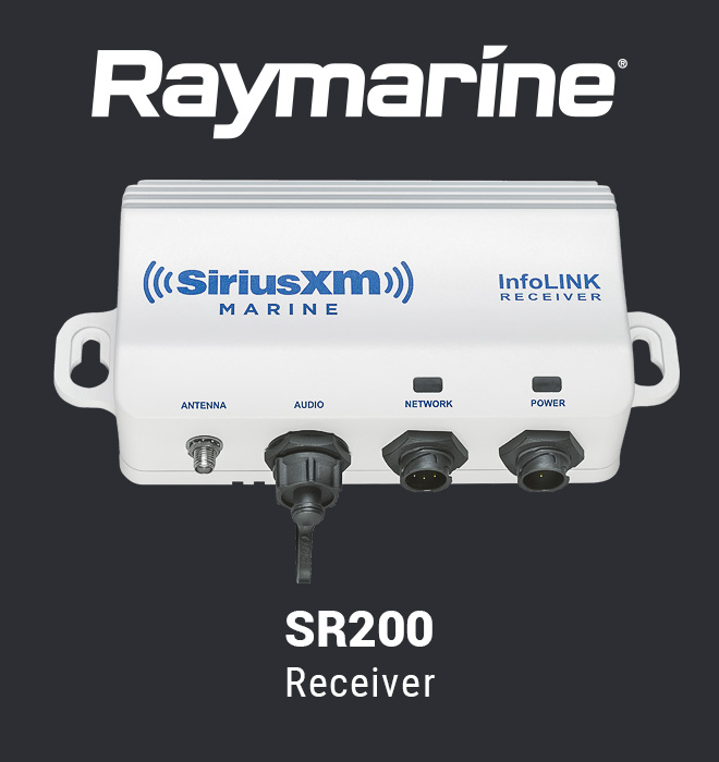
  • Raymarine SR200 Receiver

    Raymarine Receiver

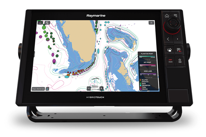
    Raymarine users can access Fish Mapping with a Raymarine SR200 receiver and a compatible Raymarine display with updated software.
    Compatible Displays

    • Axiom
    • Axiom Pro
    • Axiom Plus
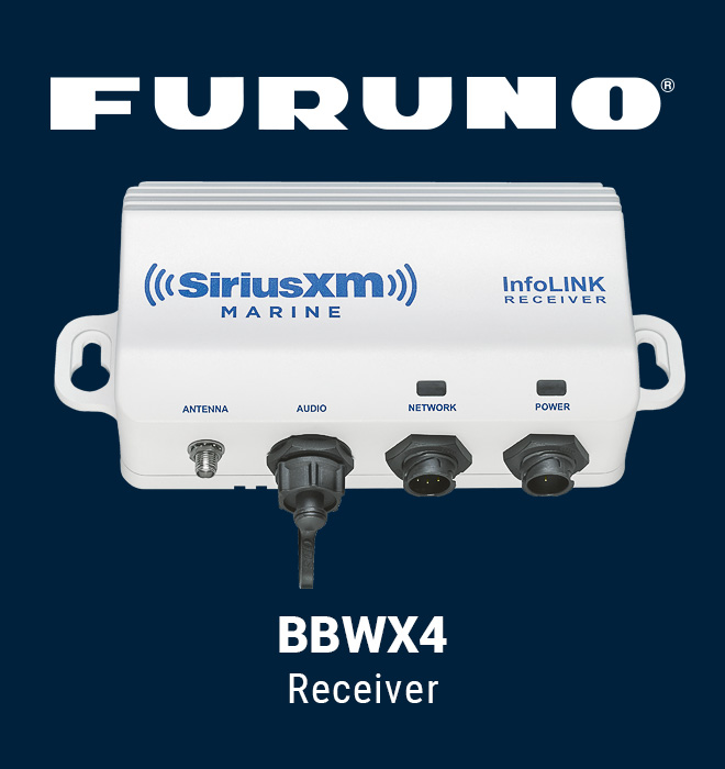
  • Furuno BBWX4 Receiver

    Furuno Receiver

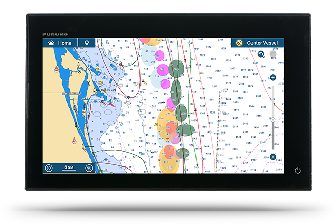
    Furuno users can access Fish Mapping with a Furuno BBWX4 Receiver and a compatible Furuno display with updated software.

    Compatible Displays

    TZtouch3
TRIAL OFFER

Subscribe to Fish Mapping and get your first month FREE!

See Offer Details below. Credit Card required.

Call Now

800-869-5480

With this trial, you'll have all of SiriusXM Marine’s weather features plus 8 regularly updated, science-based fishing features delivered via satellite, directly to your boat’s display.

You'll also receive access to the Fish Mapping App to use on your Mobile and Desktop device for onshore planning.

Whether you're competing in a tournament, out fishing for fun, or taking clients on a charter trip, you'll have the information you need to get you to the spots where fish are most likely to be located, saving you time and fuel.

Subscribe today and get your first month FREE.

Call Now

800-869-5480

APP FEATURES

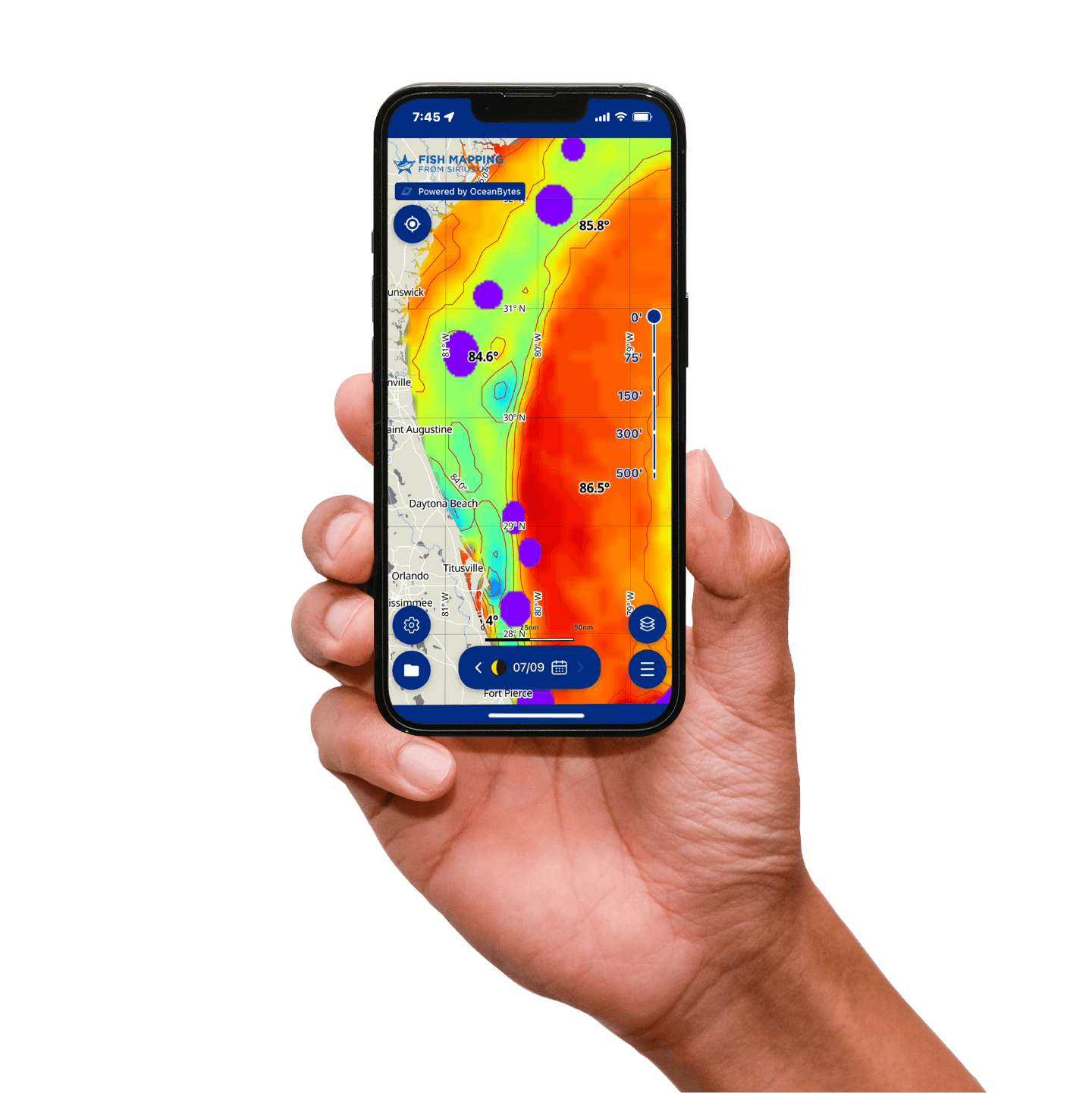
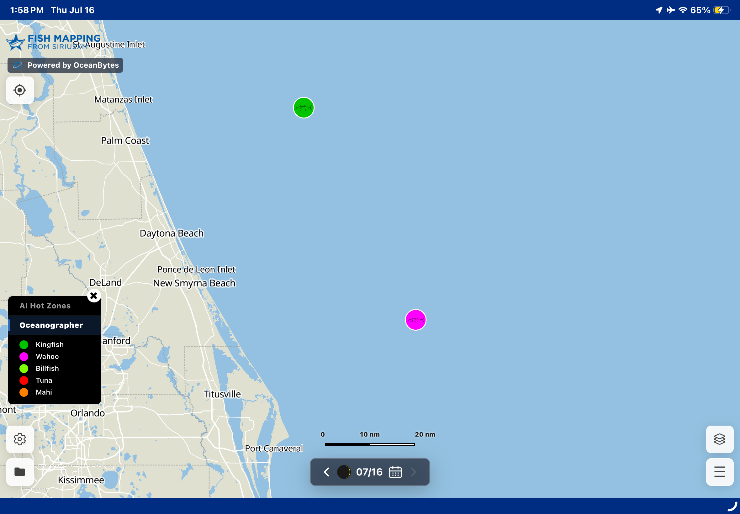
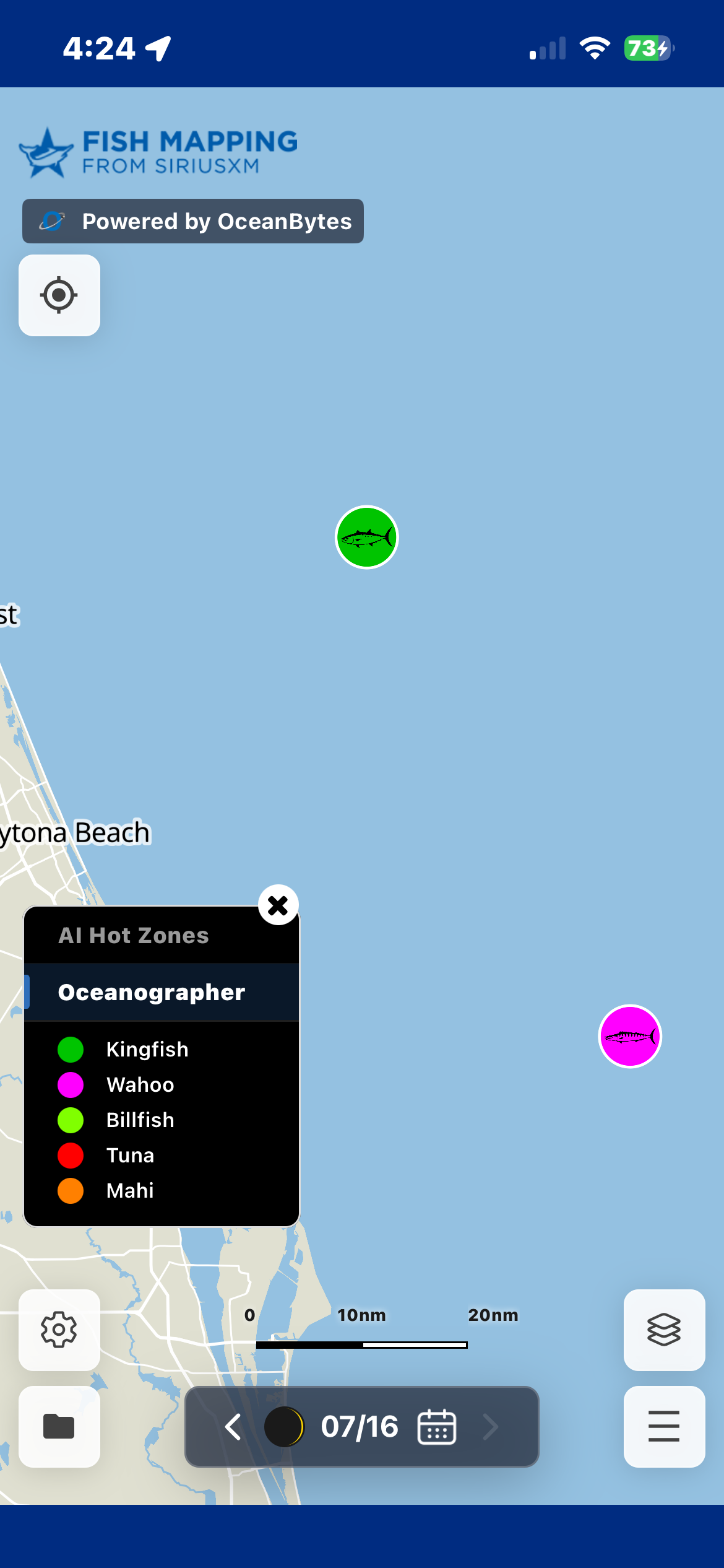
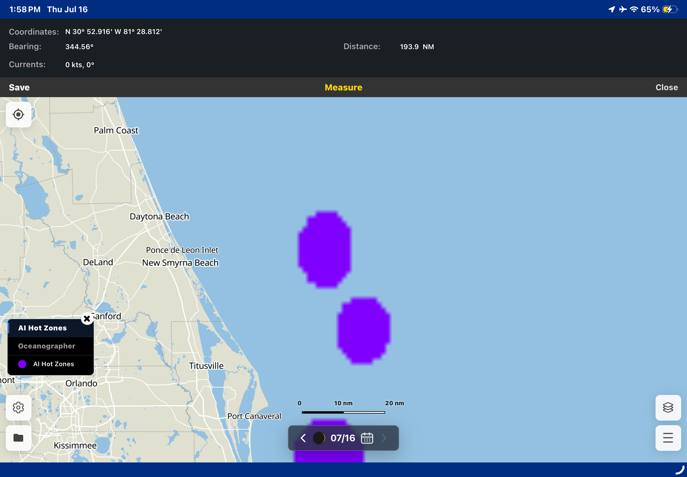
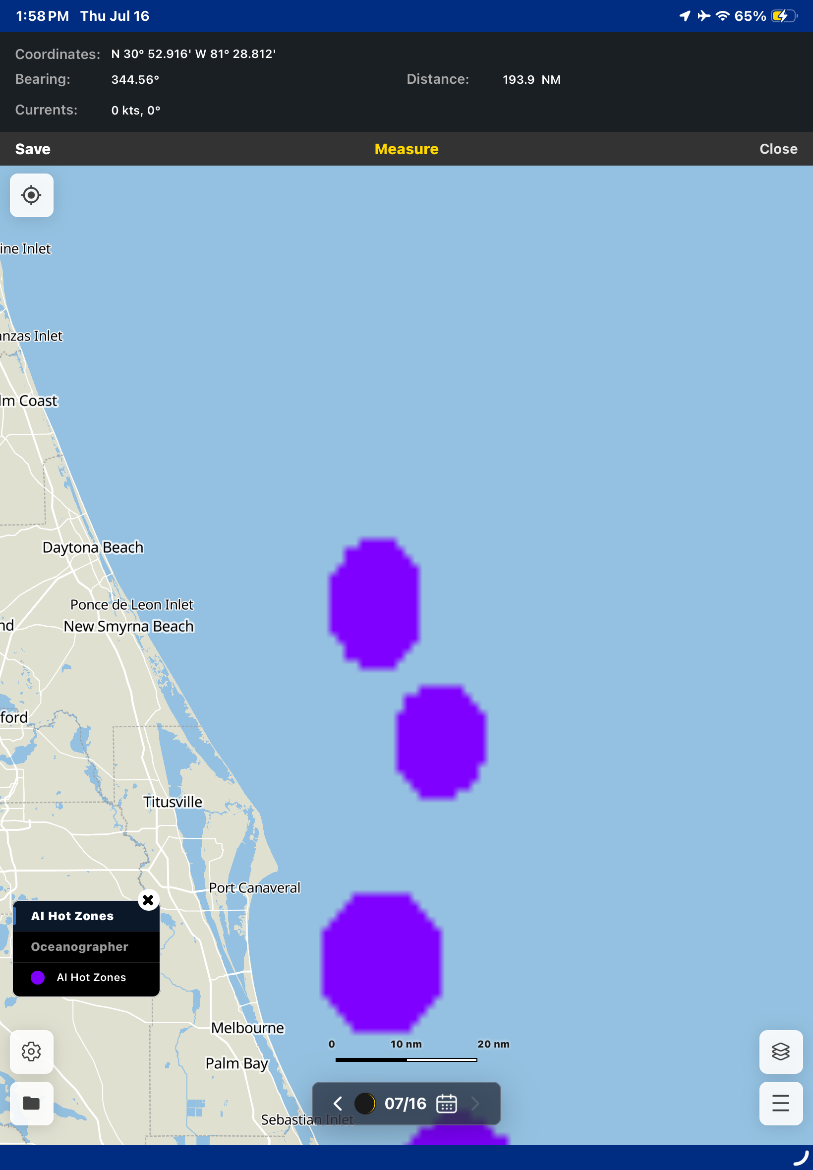
The Fish Mapping App brings fish-finding intelligence to your onshore planning. Use Fish Recommendations, AI Hot Zones, detailed ocean data, and advanced planning tools to help you find where fish are most likely to be. Internet access required to use this service on your mobile device or desktop.

Select each feature to learn more

APP INFO

Fish Smarter with the SiriusXM Fish Mapping® App


The Fish Mapping App delivers advanced, science-based fishing intelligence directly to your mobile device or desktop, helping you plan smarter and fish more efficiently.

With the latest upgrade, the App now offers an enhanced experience with powerful new tools and expanded data layers designed to help anglers quickly identify productive fishing areas.

If you’re interested in a Fish Mapping satellite subscription, access to the mobile and desktop App is included with your subscription.

Already a Fish Mapping satellite subscriber on your boat's display?

Download the App and create your log-in credentials.

Google Play Store Apple App Store

Fish Smarter with the SiriusXM Fish Mapping® App

The Fish Mapping App delivers advanced, science-based fishing intelligence directly to your mobile device or desktop, helping you plan smarter and fish more efficiently.

With the latest upgrade, the App now offers an enhanced experience with powerful new tools and expanded data layers designed to help anglers quickly identify productive fishing areas.

If you’re interested in a Fish Mapping App standalone subscription, there are flexible pricing options to make it easy to access premium fishing data:

  1. $199/year (Annual Mobile) - automatically renews
  2. $299/year (Annual Mobile & Desktop) - automatically renews
  3. $24.99/week (1-Week Mobile & Desktop) - does not renew

APP LOGIN

Current Fish Mapping subscribers, have your App login credentials?

Access the Fish Mapping App on your mobile device

Google Play Store Apple App Store
VIDEOS

See how Fish Mapping works on your boat’s display, with overview and how-to videos that show how to use regularly updated data to help locate productive fishing areas offshore.

Watch the all-new Fish Mapping App in action - from a high-level overview to step-by-step guides on using features to plan smarter and find fish faster1.

Fish Mapping App (on Mobile Device)

PRICING & COMPARISON
  Satellite Service Mobile App (only) Desktop & Mobile App (only)
Pricing $109.99/month
Automatically renews
$199/year
Automatically renews

$24.99/week
Does not renew
$299/year
Automatically renews
Access on your boat's display × ×
Mobile App access
Desktop access ×

Satellite vs. Mobile App vs. Desktop Comparison Chart

Platform Availability SiriusXM
Satellite

(w/ hardware)
Mobile App
(iOS, Android)
Desktop App
(Windows, MacOS)
Features
Oceanographer Fish Recommendations
Updated twice a week
Identify high-probability fishing areas using oceanographer analysis.
AI Fish Recommendations
Updated daily
Identify high-probability fishing areas, using AI-driven insights.
×
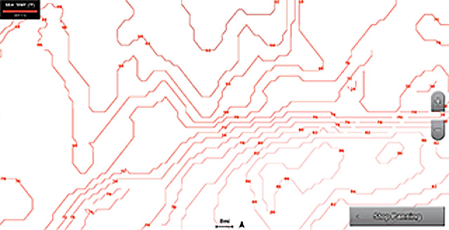
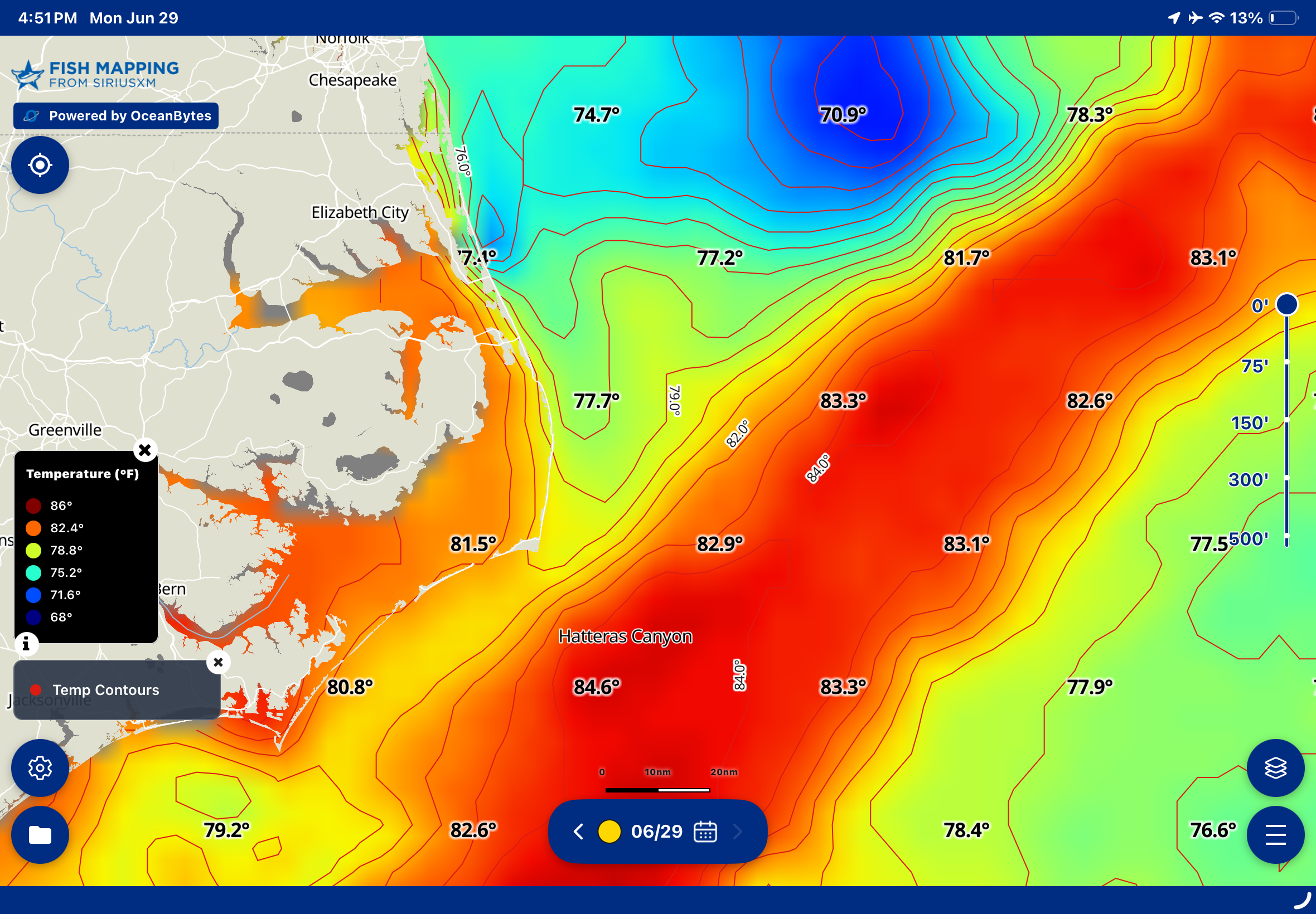
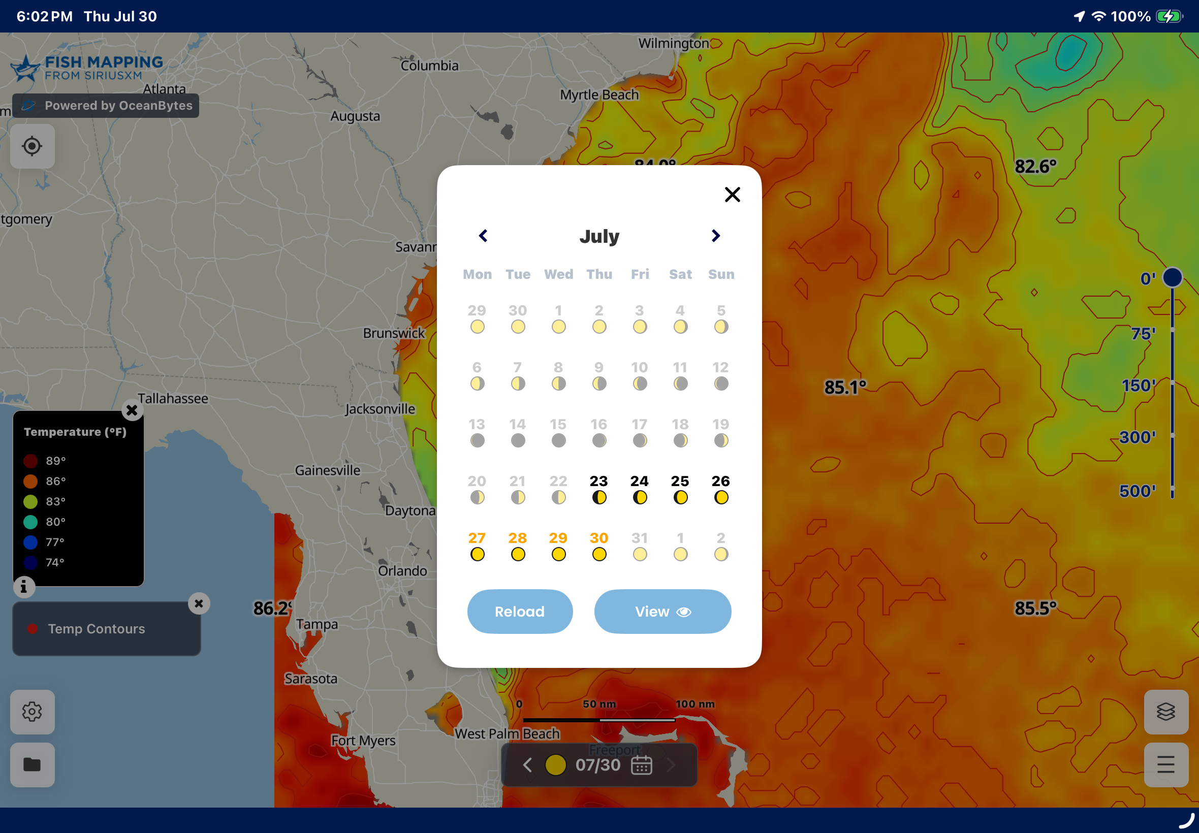
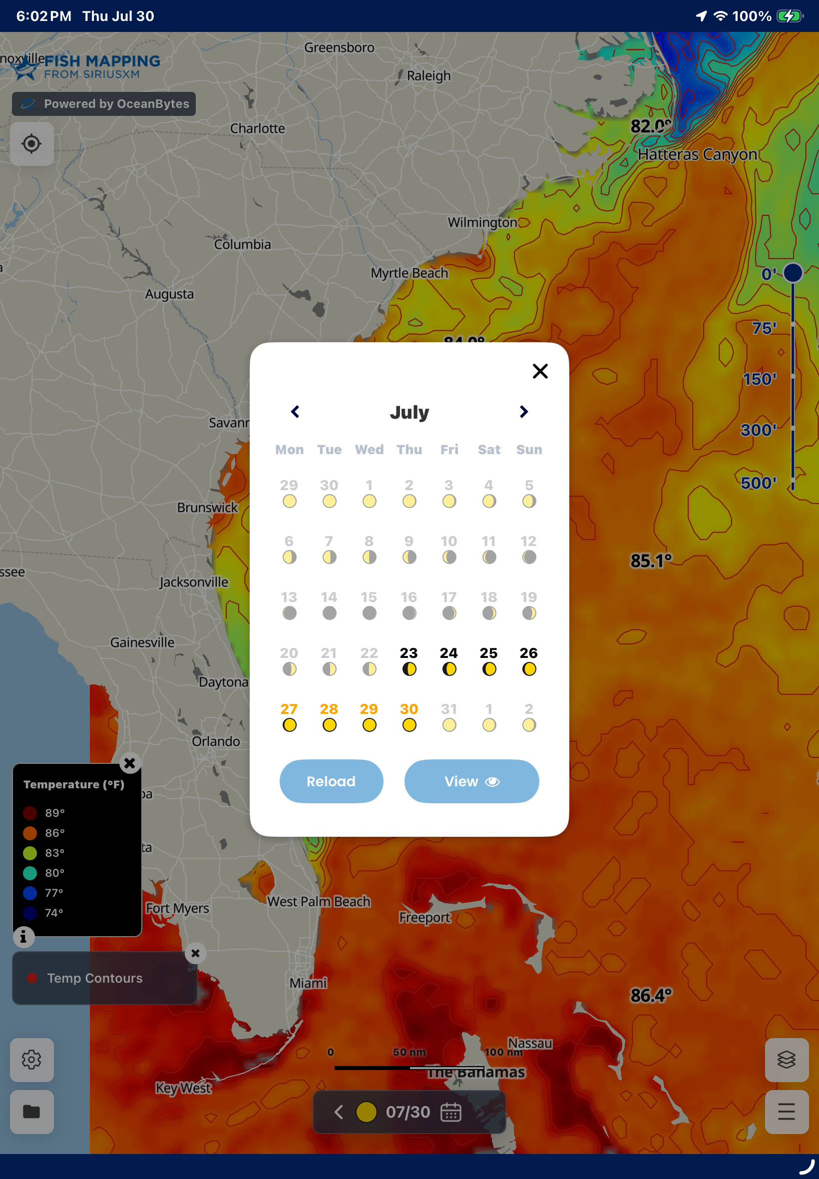
Sea Surface Temperature
Updated daily
Identify high-probability fishing areas, using AI-driven insights.
Sub Surface Temperature
Updated daily
Find under water temp changes likely to hold fish.
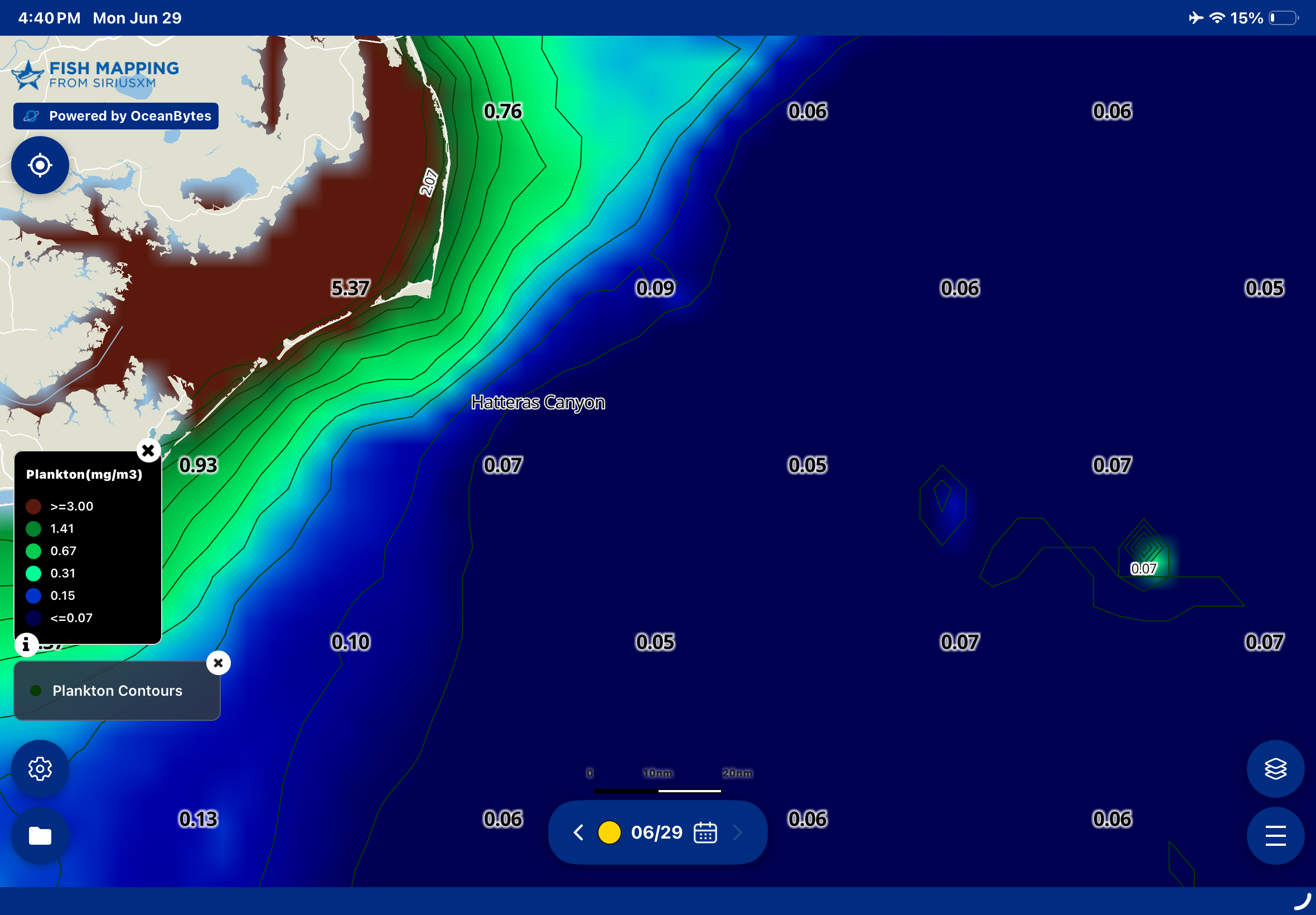
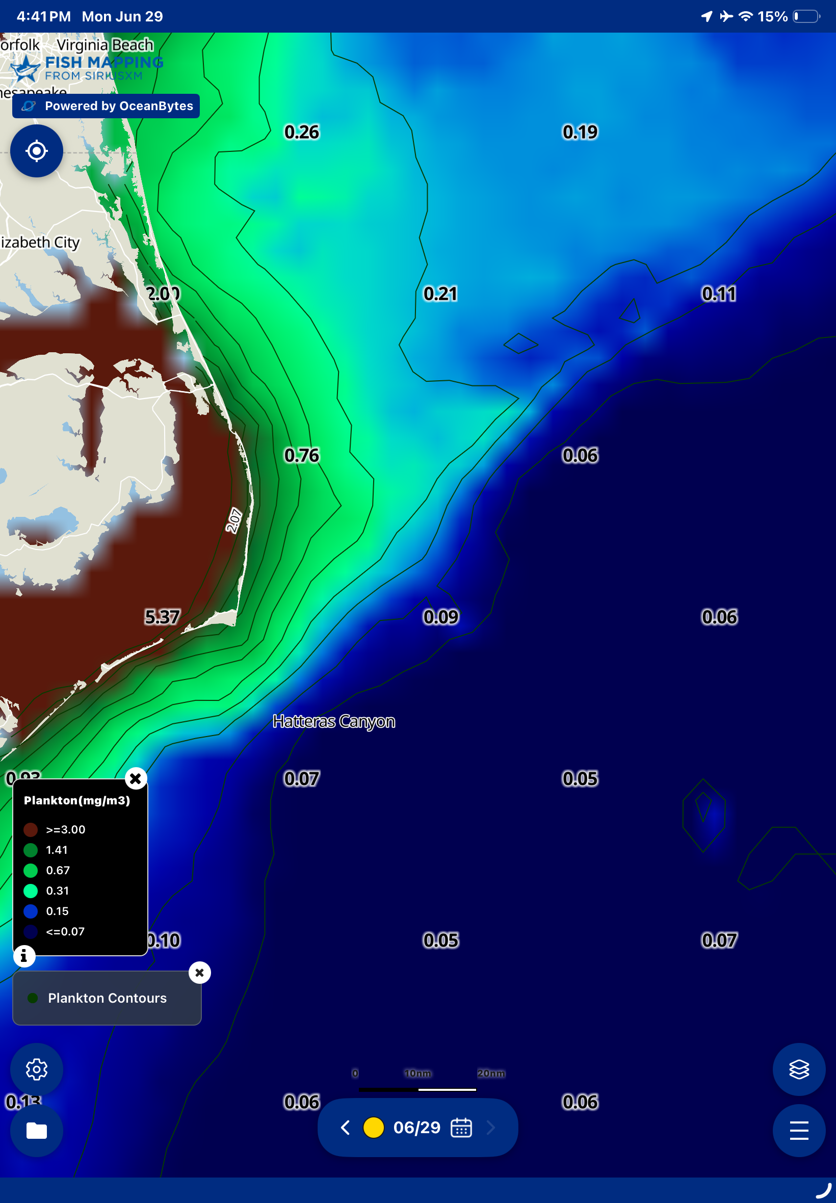
Plankton
Updated daily
Follow plankton concentrations to identify feeding zones that attract baitfish and larger predators.
True Color
Updated daily
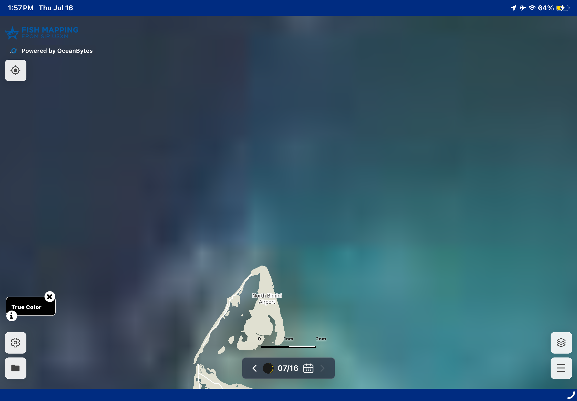
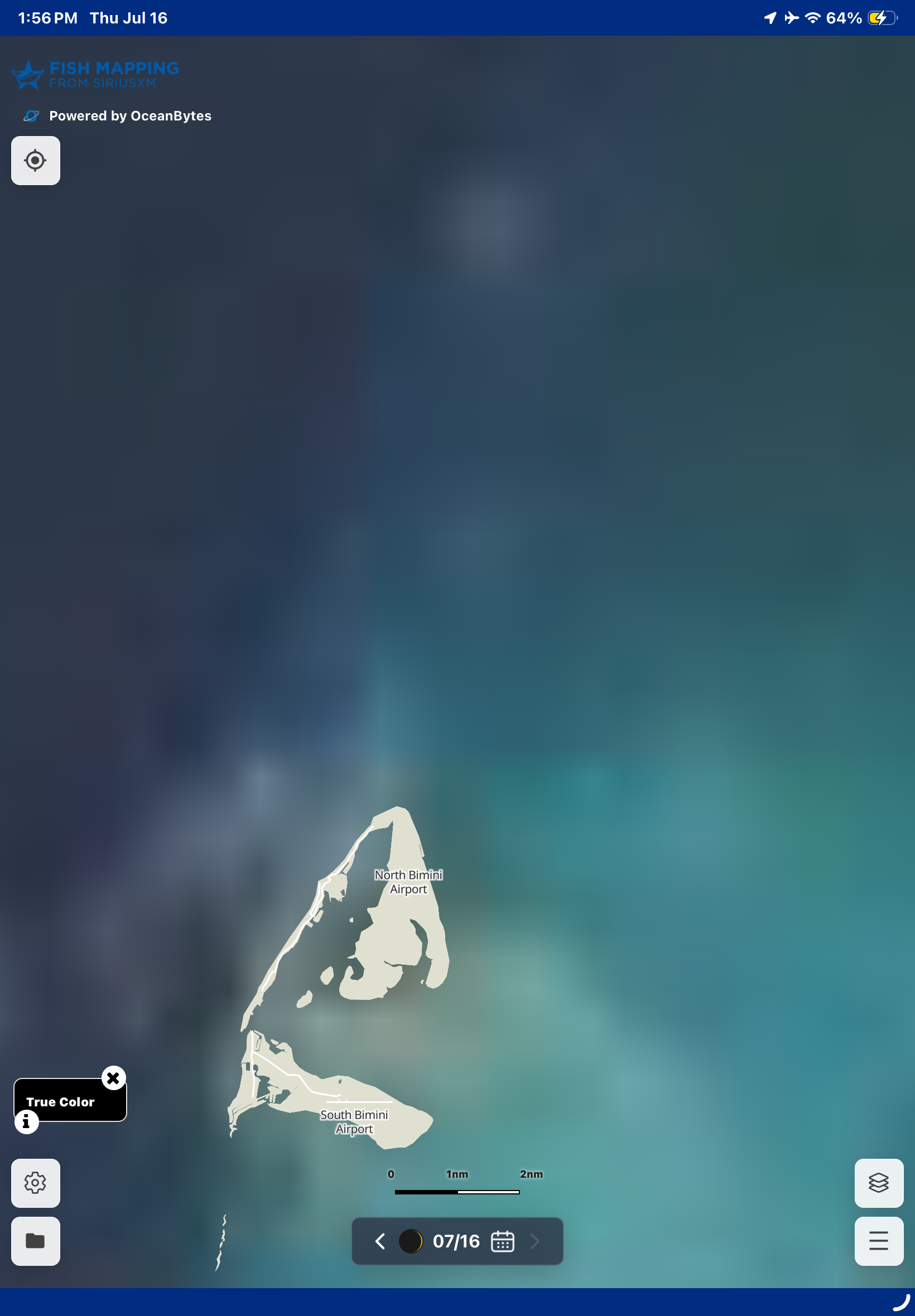
Use satellite imagery to spot water color changes that reveal productive fishing areas.
×
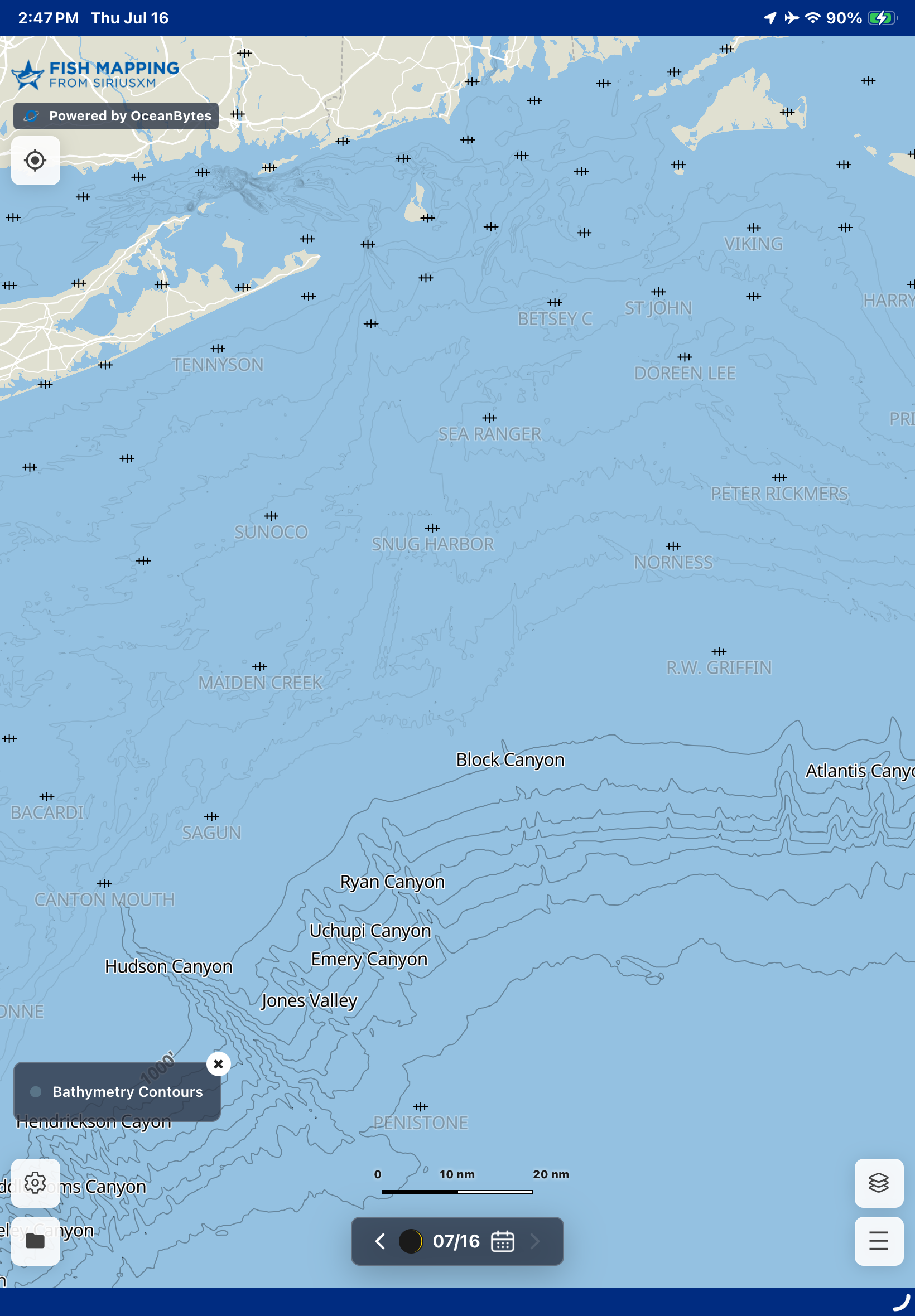
Bathymetry
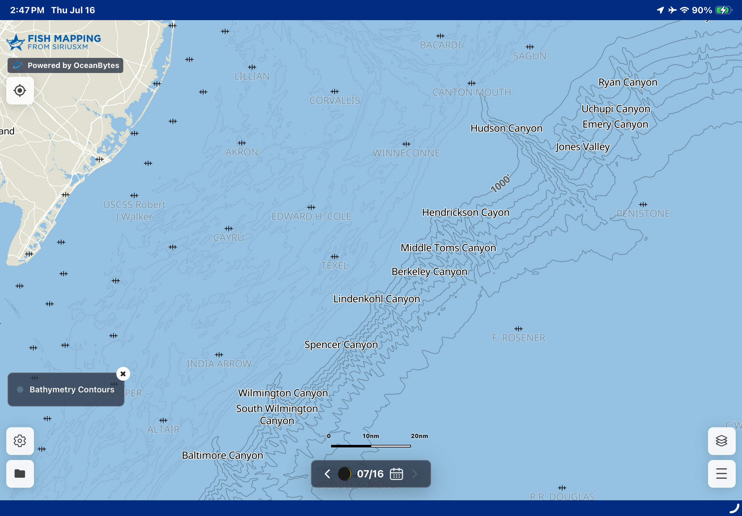
View underwater terrain, structure, and depth contours to locate fish-holding habitats.
Available on your MFD via your hardware provider
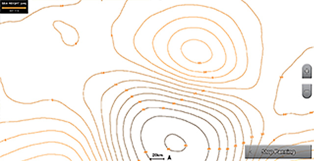
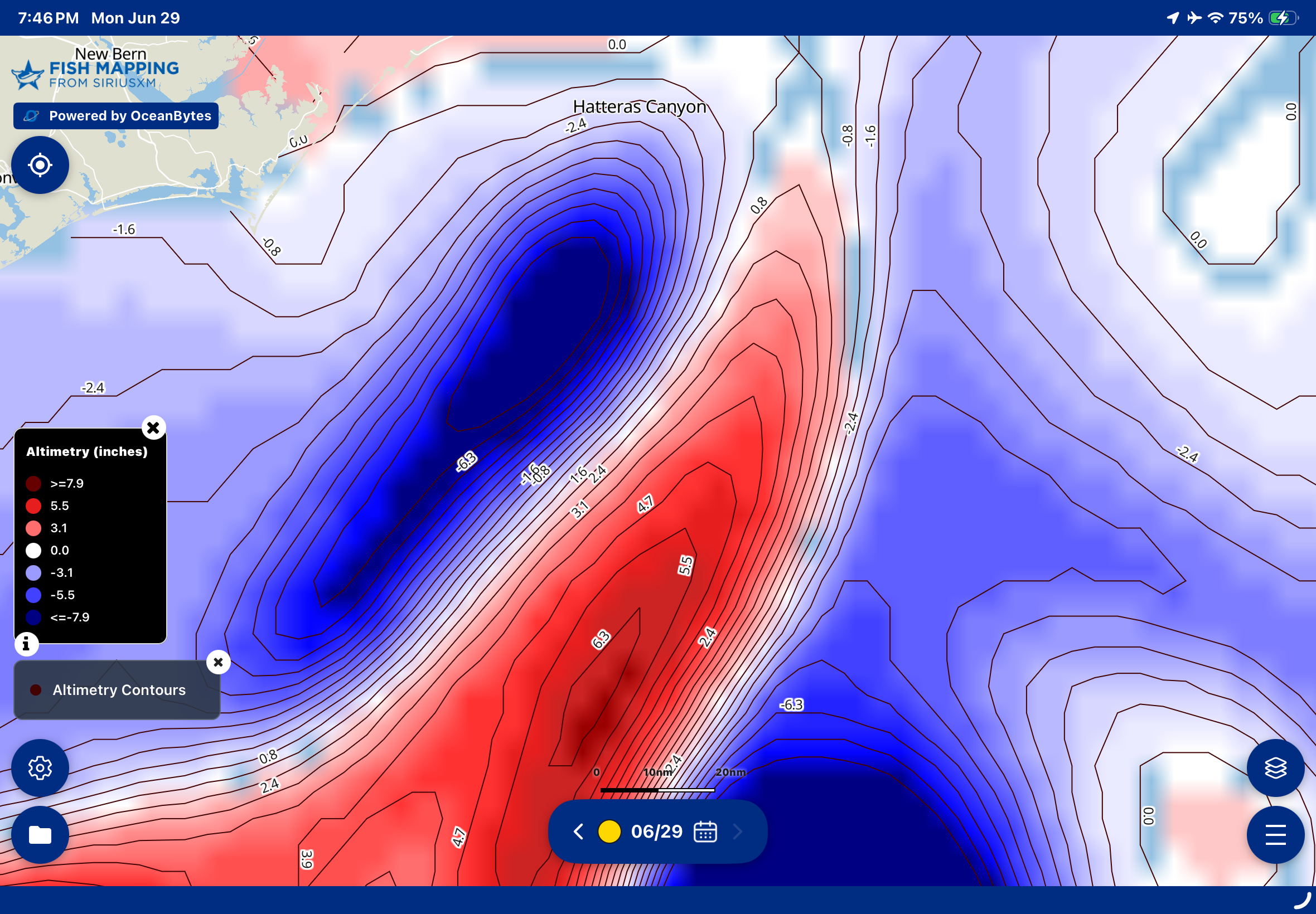
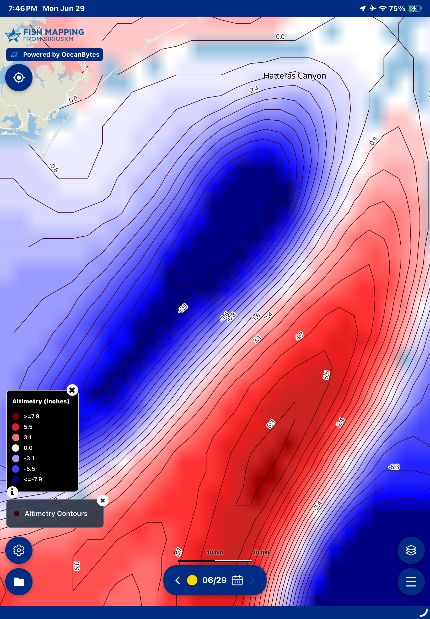
Altimetry / Sea Surface Height Anomaly
Updated daily
Detect ocean fronts, eddies, and convergence zones where nutrient-rich waters attract fish.
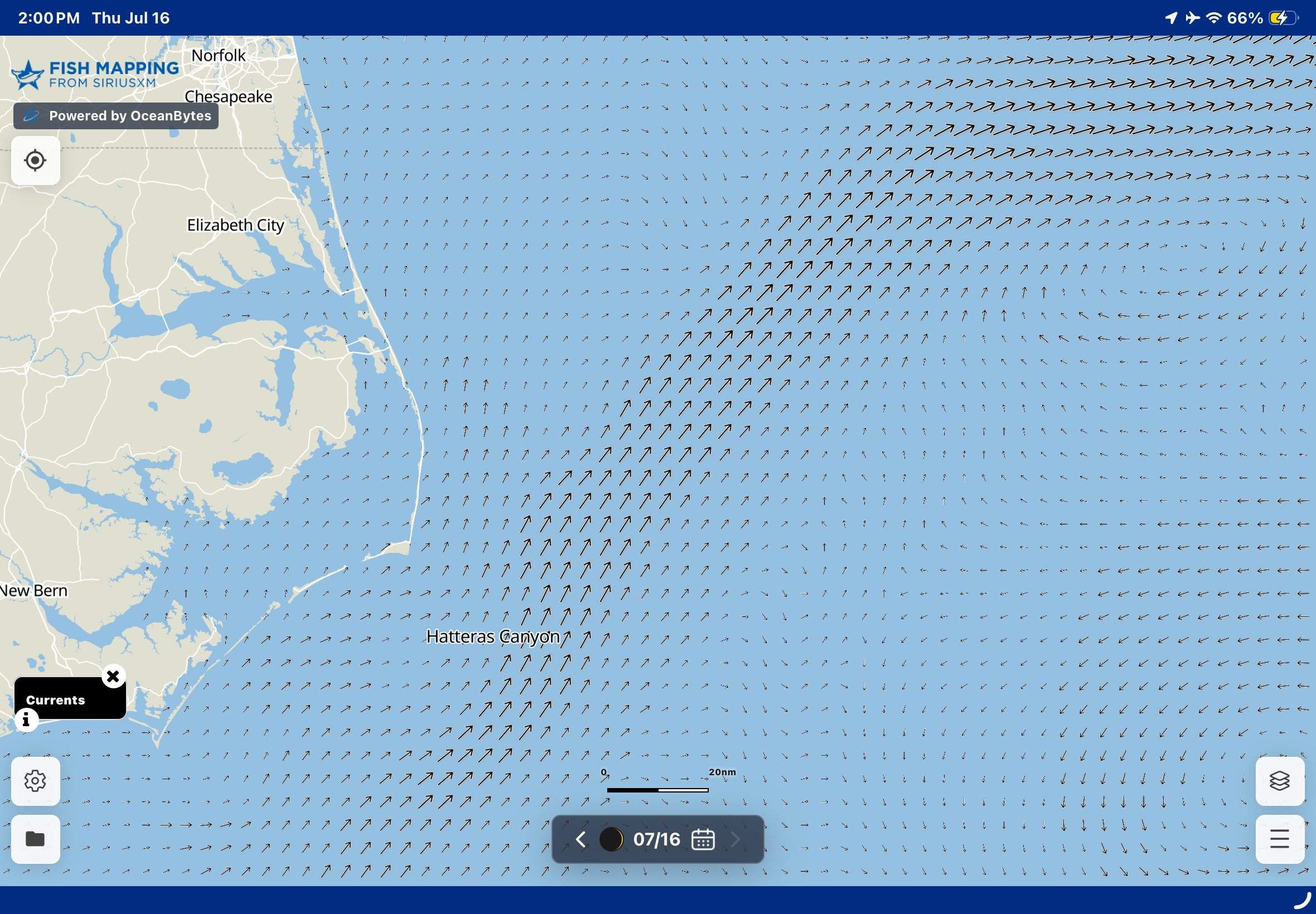
Currents
Updated daily
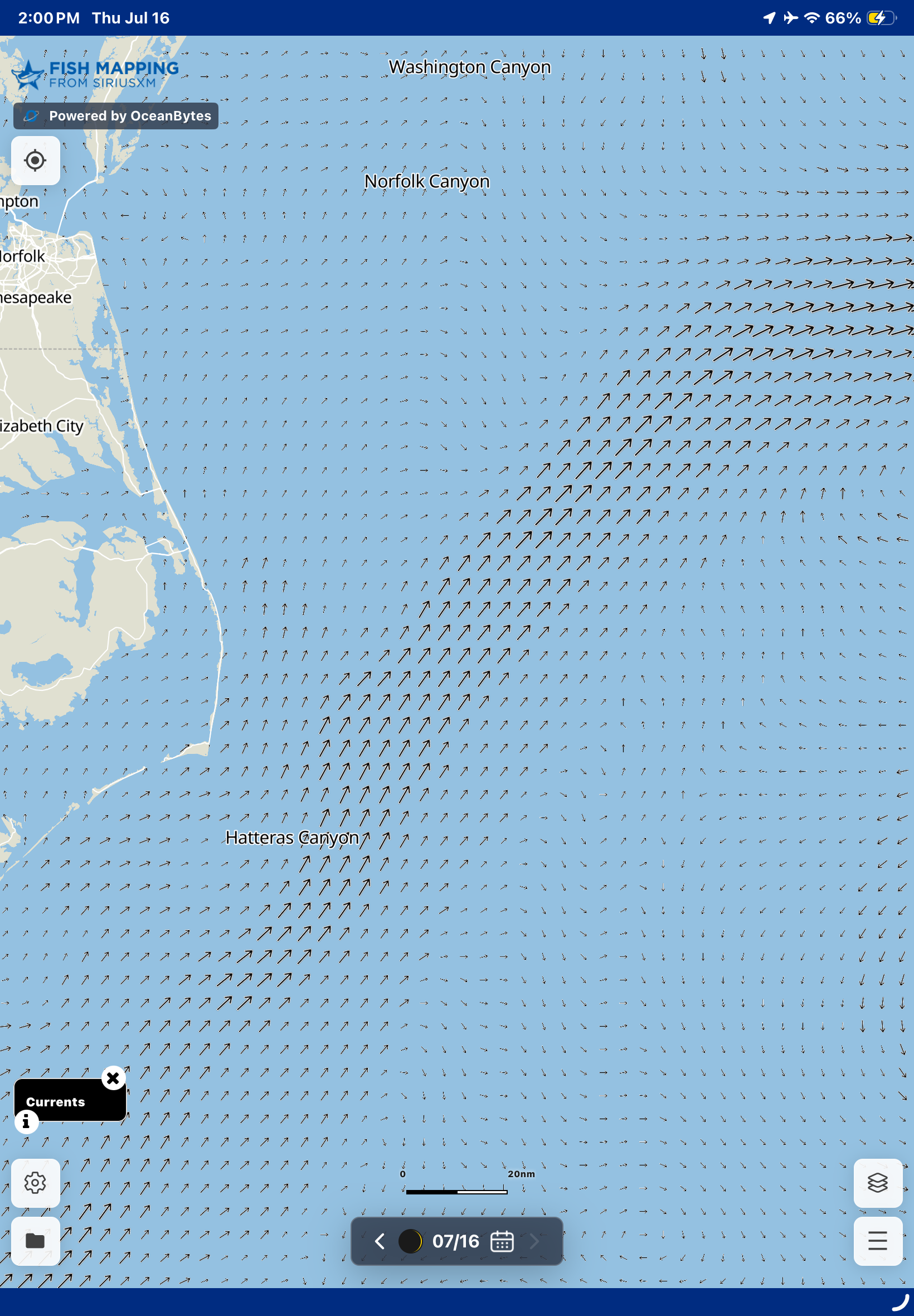
Visualize ocean currents to find edges, eddies and convergences where bait and game fish concentrate.
×
Weed Lines
Updated daily
Locate floating weed lines that attract bait and game fish.
× ×
Salinity
Updated daily
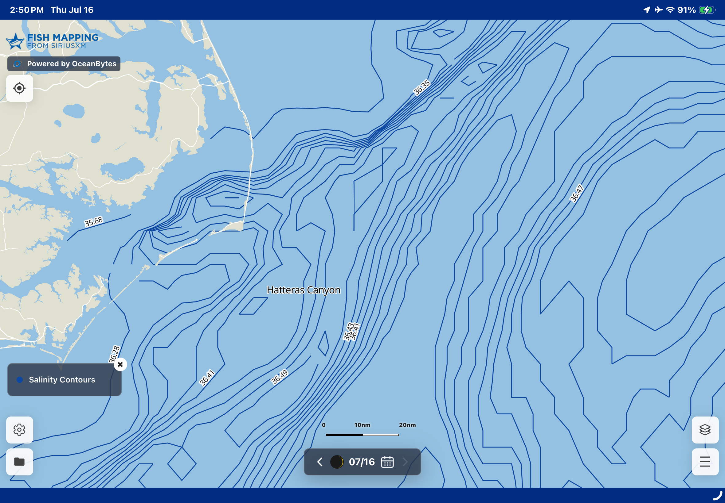
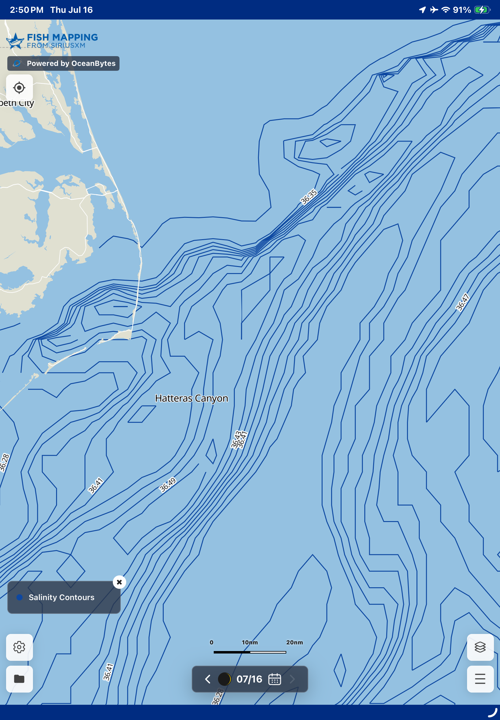
Pinpoint water mass boundaries where salinity changes create prime feeding zones for fish.
×
Tools & Functionality On MFD In Mobile App On Desktop App
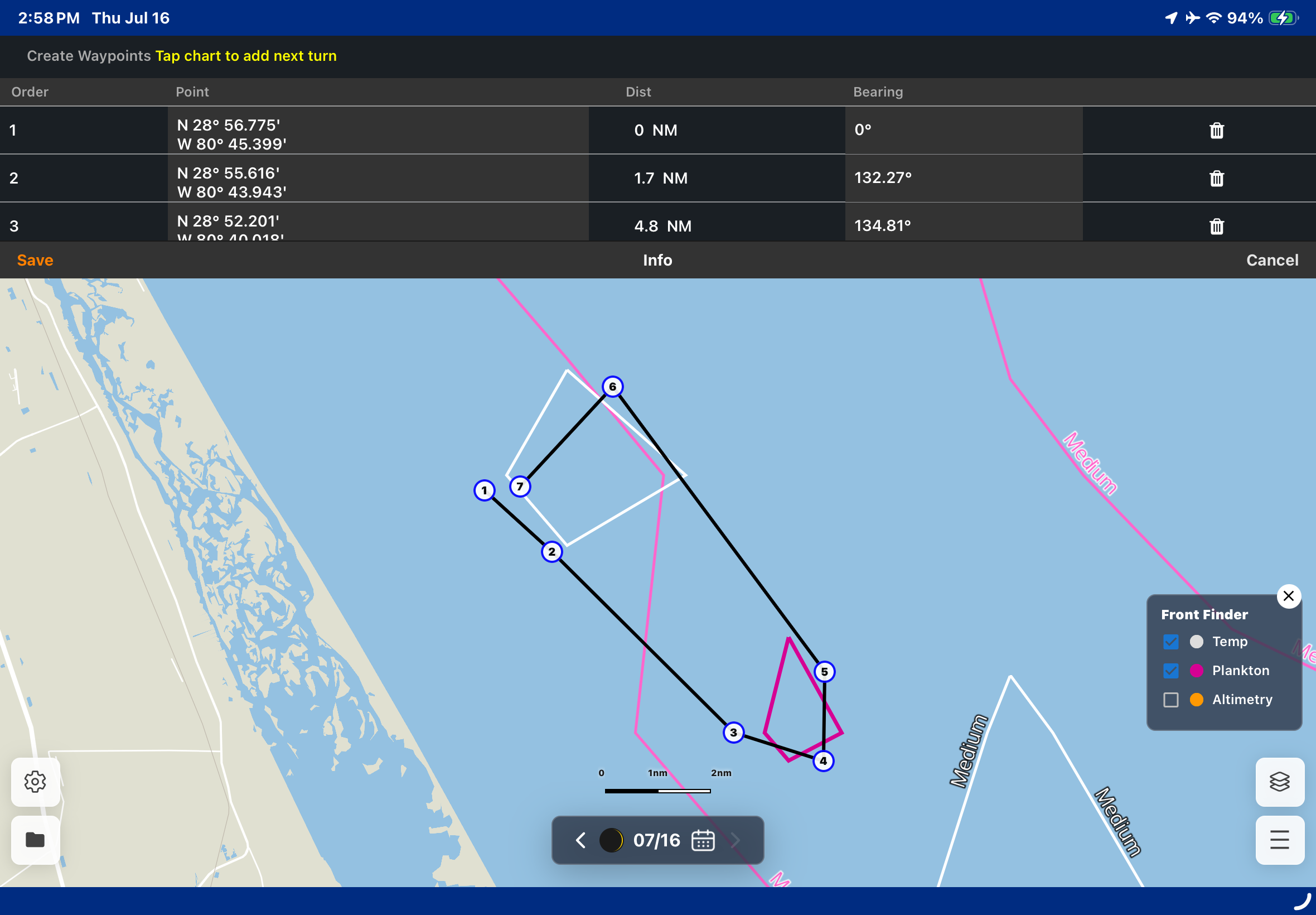
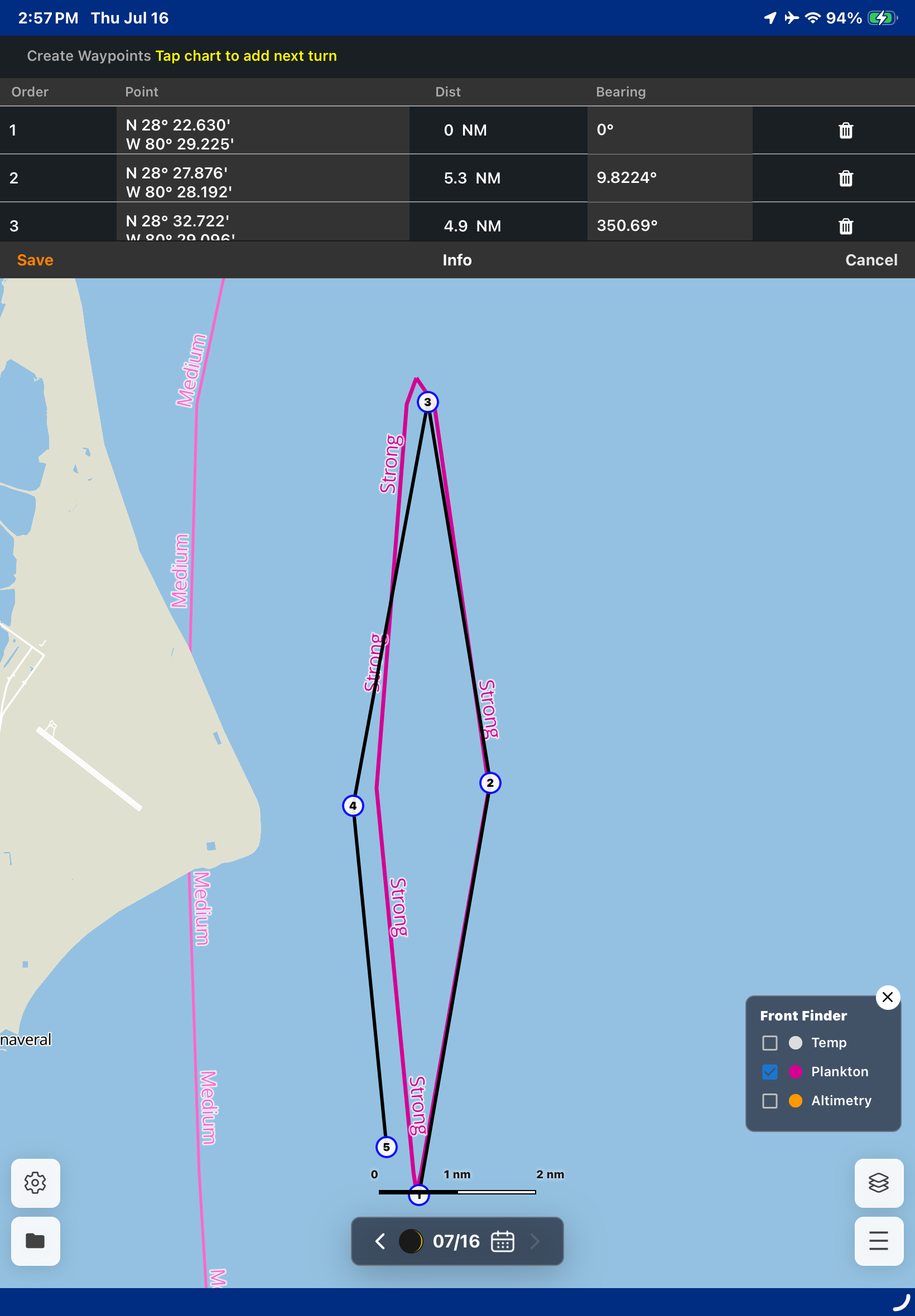
Routes & Waypoints
Create and export custom routes with waypoints for efficient trip planning and navigation.
Available on your MFD via your hardware provider
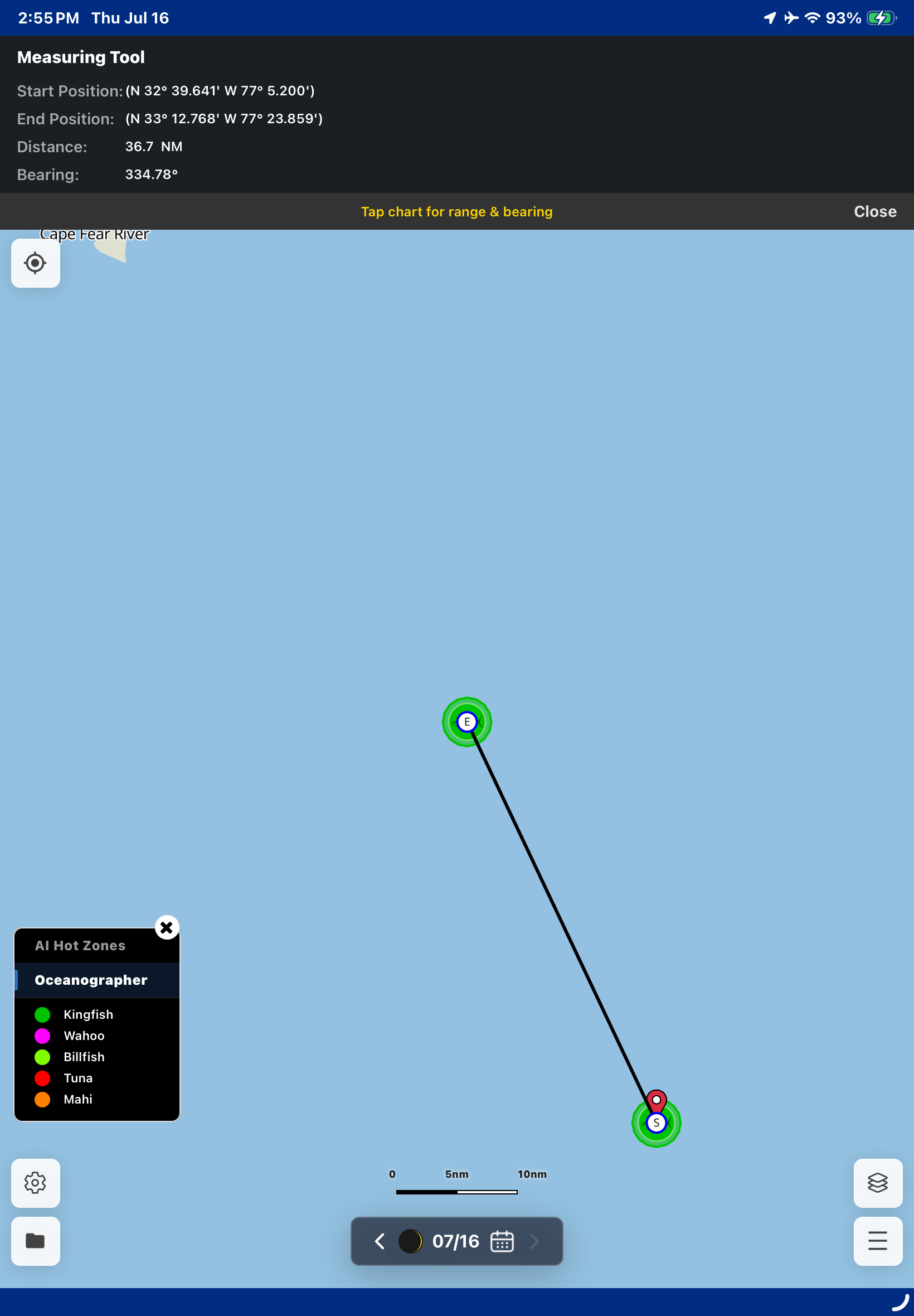
Measuring Tool
Quickly measure distance and bearing to plan routes, timing, and fuel needs.
Available on your MFD via your hardware provider
Calendar & Moon Phases
Track where oceanographic features are moving from the previous 7 days and view moon phases to determine the most productive days to fish.
×
Advanced Features
Split Screen for Dual Dataset Viewing ×
Condition Filter
Adjust specific data ranges for each feature to determine the best concentrations of each oceanographic data set.
× ×
Hi-Res (1km) Plankton
Updated daily
× ×
Hi-res (1km) Sea Surface Temperature
Updated daily
× ×
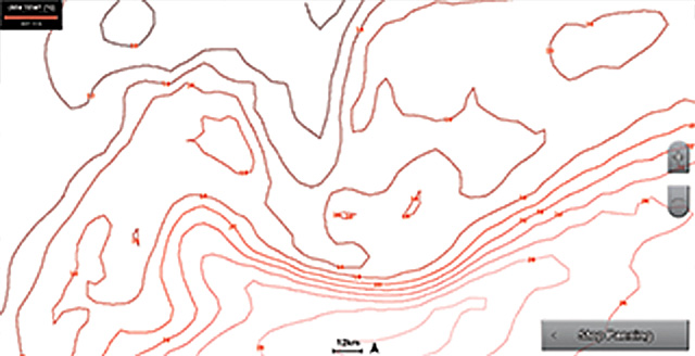
Thermocline
Updated daily
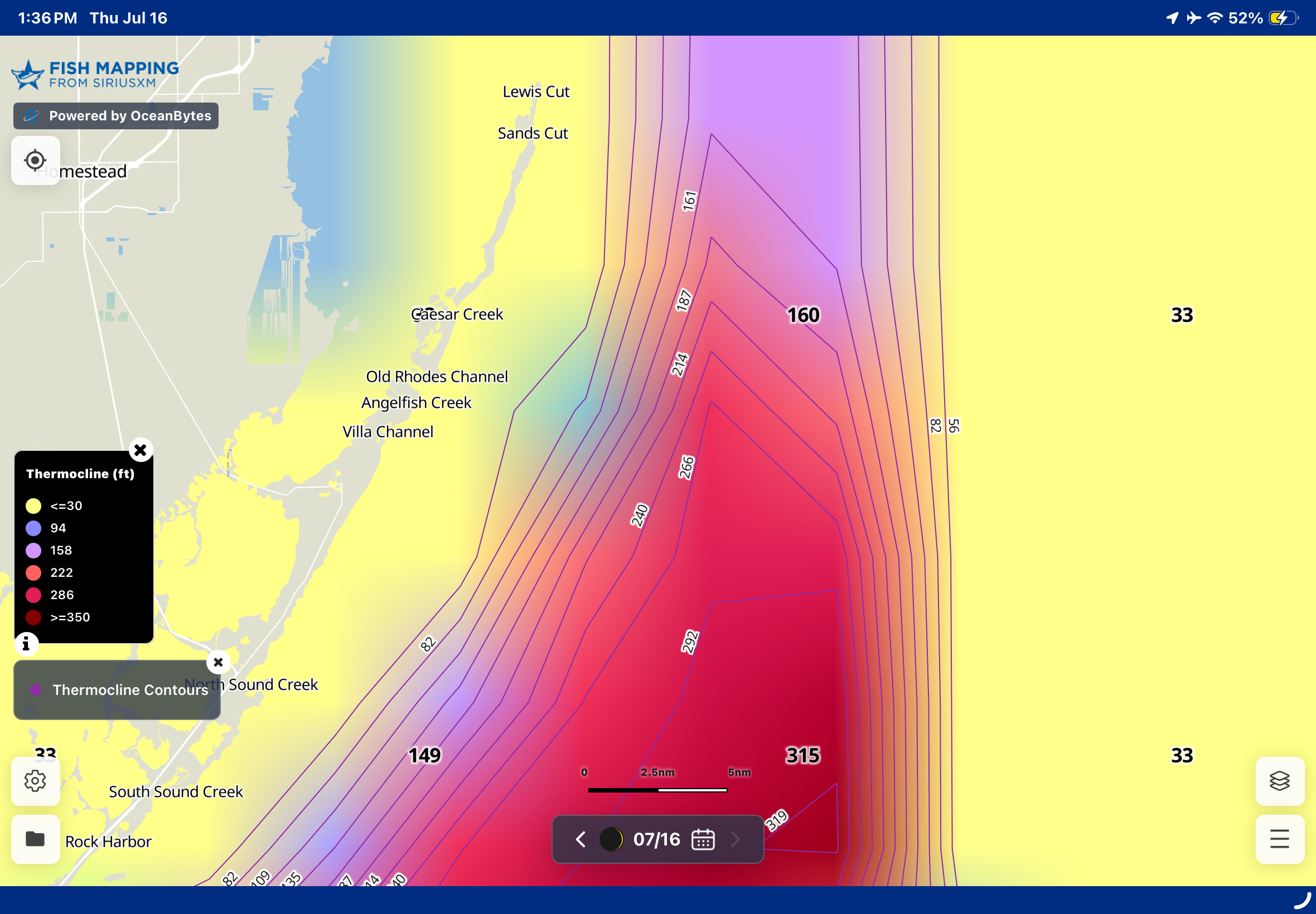
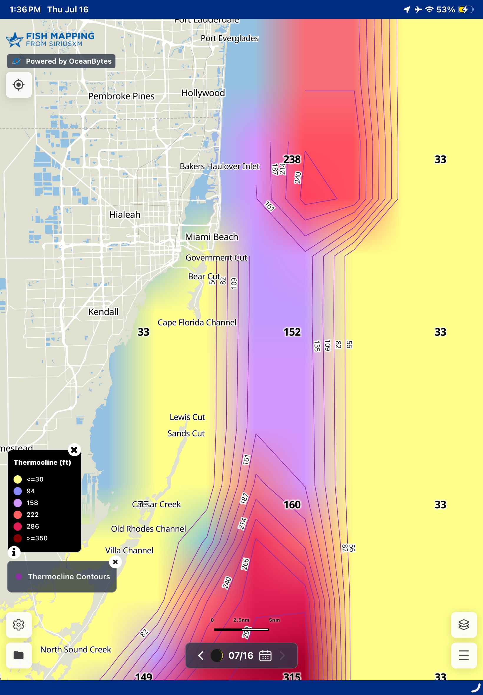
Identify depth layers where the most drastic temperature shifts in the water column concentrate bait and attract predatory fish.
×
Dynamic Currents × ×
Front Contour lines (Plankton + SST)
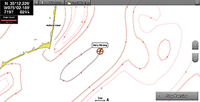
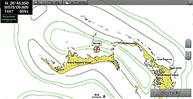
View SST and Plankton front contour lines to determine the areas with the strongest fronts. Fronts are labeled with numbers 1-4 showing a range of weak (1) to very strong (4) fronts.
× ×
Front Finder (Plankton, SST, Altimetry)
See fronts overlaid on top of a selected base layer as desired. App version only shows strongest fronts. Desktop allows the option to adjust from weak to very strong fronts.
×
FAQs

Frequently Asked Questions

How often does the information update on the app?
  Fish Recommendations & Hot Zones
  • AI generated: Updated daily
  • Oceanographer created: Updated twice a week on Tuesday and Friday mornings
Sea Temperature, Plankton, Altimetry, Currents, Thermocline, Salinity, and True Color
  • Updated daily
Will my App access be available immediately after I subscribe to Fish Mapping?
After subscribing, you will be directed to download the App and can begin using the App immediately.
How much does the SiriusXM Marine Fish Mapping App cost?
Visit the Pricing & Comparison tab for the latest pricing.
How many devices are allowed for each Fish Mapping account?
You can access the SiriusXM Fish Mapping App on up to two (2) devices, depending on your plan:

For Satellite Subscribers

  • In addition to your satellite hardware, you also have access to the App on up to 2 devices in either of the following combinations: 2 mobile devices, 2 desktop devices, or 1 mobile AND 1 desktop device.

For App-Only Subscribers

  • Mobile & Desktop Plans: Access the App on up to 2 devices in either of the following combinations: 2 mobile devices, 2 desktop devices, or 1 mobile AND 1 desktop device.

  • Mobile-only Plans:Access the App on up to two (2) mobile devices only.

Switching to a new device may take up to 24 hours to take effect.
Can I store waypoints on the App?
Yes, you are able to store waypoints.
Can I access App data when I am offshore and out of cell range?
Yes, even when offshore and out of cellular range, you will be able to access any data that you have previously downloaded, as long as the app is not reset nor app data is cleared.
Is there a desktop version available?
Yes, there is a desktop version available. With the desktop version, mobile App access is included with your subscription. The desktop version comes with higher resolution data and several other features that are not included on the mobile App. Please see the comparison chart for more details.
Do I have to have a subscription on my boat, or can I purchase the App separately?
You can now subscribe separately without having the service on your boat.
What is the geographic coverage area for Fish Mapping features?
The App's geographic coverage area covers up to 150NM offshore in the contiguous United States and its coastal regions.
Are these services available outside North America?
No, these services are not available outside of North America.
Does the Fish Mapping App include weather?
No, the Fish Mapping App does not include weather features. You can view weather only on your boat's MFD with a SiriusXM Marine subscription.
Will I always see Fish Recommendations in my area when using Fish Mapping?
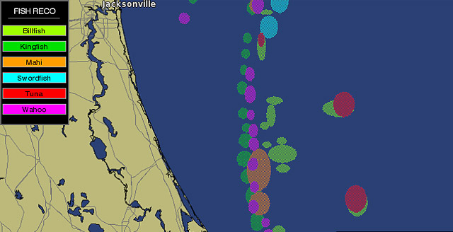
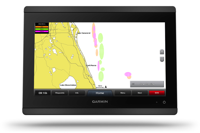
Fish Recommendations are locations oceanographers recommend with the ideal conditions for finding specific types of game fish. Locations are based on their expert analysis to help you find the types of fish you’re looking for, faster. Note that if conditions are not ideal for the selected species in your area, a Fish Recommendation zone will not be displayed. In this case, use the other Fish Mapping features in combination to find the most favorable fishing conditions in areas you plan to fish.
Do you get charged for Fish Mapping per every analysis provided, like some fishing information services do?
No. You will enjoy unlimited fishing info throughout your subscription period across our entire service coverage area. We do not charge customers per analysis.
Can I seasonally suspend my App subscription?
No, you cannot seasonally suspend your App subscription. If you are not using the App regularly, we recommend purchasing a 1-week plan.
Can I access SiriusXM Marine Fish Mapping service online?
Yes, the fishing features from Fish Mapping are available online. Fish Mapping satellite subscribers have access to the Fish Mapping App on their mobile phone/tablet or desktop at any time. For new satellite subscribers, App access make take up to 24 hours after subscription activation. Download the Fish Mapping App from your iOS or Android App store. Note, the weather portion of the subscription is not available online. Download the Fish mapping App from your IOS or Android App Store.

You may download data from the Fish Mapping App to your mobile device when you have an internet connection. You may continue to access the downloaded data when offline as long as you don't close or reset the App and/or clear data from the App.
Where does SiriusXM Marine Fish Mapping Data come from?
Our oceanographic data combines information from multiple government, research, commercial and proprietary sources, and creates timely, accurate fishing information using the most reliable, sophisticated analysis methods and processes in practice today.
How often will information update from the satellites to your boat and to the Fish Mapping App?
  Satellite / MFD service:
  • Fish Recommendations
    • Updated every Tuesday and Friday by 5 AM (ET)
  • Sea Surface Temperature Contours
    • Updated every 3 hours
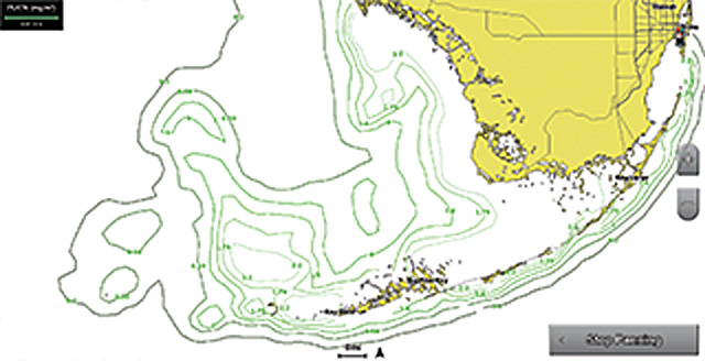
  • Sea Surface Height Anomaly, Sea Surface Temperature Front Strength, 30m Subsurface Temperatures, Weed Lines, Plankton Concentration, Plankton Front Strength
    • Updated daily by 5 AM (ET)

Mobile / Desktop App service:
  • Fish Recommendations & Hot Zones
    • AI generated: Updated daily
    • Oceanographer created: Updated twice a week on Tuesday and Friday mornings
  • Sea Temperature, Plankton, Altimetry, Currents, Thermocline, Salinity, and True Color
    • Updated daily
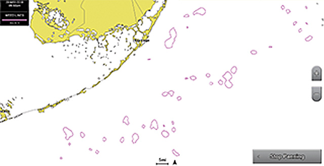
Why do weed lines appear and disappear?
There are several reasons weed imagery can be blocked by cloud cover causing the satellite to not see them. Additionally, weeds can be moved by winds, waves and currents, and they can also disperse and sink below the surface.
Will there be additional fish species added to the Fish Recommendations feature?
The following 6 species are the current list of Fish Recommendation locations. More species may be added in the future.
  • Tuna
  • Mahi
  • Swordfish
  • Billfish
  • Wahoo
  • Kingfish
What hardware do I need for Fish Mapping service on my boat?
For the version that displays on your MFD, you will need to have a Garmin GXM 54, Raymarine SR200, Simrad or Lowrance WM-4, or Furuno BBWX4 receiver/antenna installed on your boat. Information on compatible hardware can be found here.

No hardware is needed for the standalone Fish Mapping App, however, internet access is required.
What are the areas where the Fish Mapping service is available?
Our Fish Mapping service is available up to 150NM offshore in the contiguous United States and its coastal regions..
Are SiriusXM Marine Weather and Fish Mapping service available in The Bahamas?
Yes, The Bahamas are within 150NM of the United States' coastal region, which is well within the SiriusXM Marine Weather and Fish Mapping service coverage area.
Will I always see Fish Recommendations in my area when using Fish Mapping?
Fish Recommendations are locations oceanographers recommend with the ideal conditions for finding specific types of game fish. Locations are based on their expert analysis to help you find the types of fish you’re looking for, faster. Note that if conditions are not ideal for the selected species in your area, a Fish Recommendation zone will not be displayed. In this case, use the other Fish Mapping features in combination to find the most favorable fishing conditions in areas you plan to fish.
Where does SiriusXM Marine Weather and Fish Mapping Data come from?
The Weather Company, the industry-leading professional weather service supplier for over 25 years, is the source for the weather information for SiriusXM Marine Weather. Our oceanographic data combines information from multiple government, research, commercial and proprietary sources, and creates timely, accurate fishing information using the most reliable, sophisticated analysis methods and processes in practice today.
How much does SiriusXM Marine Fish Mapping cost per month?
Please visit our Pricing & Comparison tab for the latest pricing. We also allow customers to seasonally suspend their service at no charge for up to 6 months when their boat is not in use.
How do I activate my SiriusXM Marine Fish Mapping service?
After your receiver is installed, connected to your compatible chartplotter/MFD product and powered up, you can activate your service by calling 1-800-869-5480. Be prepared with your SiriusXM radio ID/ESN for your receiver, billing information, and subscription preference for Fish Mapping. In mere minutes after your Customer Care representative enters the information your service will be activated. The SiriusXM radio ID/ESN # of your receiver is accessible via the user interface on your weather viewer display. Hours of operation are Monday - Sunday from 8 AM - 8 PM ET.

Once the satellite service is activated, visit the app store to download the Fish Mapping App and follow the instructions to create a login.
What satellite Fish Mapping subscription length options are available?
You can subscribe to a monthly, quarterly, semi-annual or annual plan. You can cancel anytime to stop future renewals. However, if you cancel and repurchase there may be a $25 reactivation fee. We do offer customers the ability to seasonally suspend their service for up to 6 months at no charge when their boat is not in use.
How can I temporarily suspend service if I won’t be boating for a while (due to winter weather, maintenance, other)?
You can suspend your SiriusXM Marine Weather service at no cost for up to 6 months when you are not using it by calling 1-800-985-9200 and asking to suspend.
Is there any cost to the seasonal suspension service?
No, there is no cost to suspend your service and no reactivation fee. You may suspend your service for up to 6 months when your boat is not in use.
If I have questions about my SiriusXM Marine service or billing or other weather service related questions, whom do I contact?
If you have questions regarding your SiriusXM Marine service plan or billing, please contact SiriusXM Marine customer care at 1-800-869-5480. SiriusXM Marine customer care hours of operation are Monday - Sunday from 8 AM - 8 PM ET. You can also email us at [email protected]
Can I access SiriusXM Marine Fish Mapping service online?
Yes, the fishing features from Fish Mapping are available online. Fish Mapping satellite subscribers have access to the Fish Mapping App on their mobile phone/tablet or desktop at any time. For new satellite subscribers, App access may take up to 24 hours after subscription activation. Download the Fish Mapping App from your iOS or Android App store. Note, the weather portion of the subscription is not available online.

You may download data from the Fish Mapping App to your mobile device when you have an internet connection. You may continue to access the downloaded data when offline as long as you don't clear app data or reset the app.
What is available on the Fish Mapping App?
The Fish Mapping App includes all 8 fishing features available on your boat’s display, plus App exclusive features including bathymetry, true color, ocean currents, calendar and moon phases, routes and waypoints, a measuring tool, and more on your phone or tablet while on shore to help plan your trip. More questions about the App? View the Pricing & Comparison chart to see the full feature list.
How long does it take to receive the most updated satellite-delivered Fish Mapping information on your boat's display?
It will take no more than 20 minutes from the time you first power on your boat's display to load all of the current Fish Mapping data. The information is available for subscribers within our service coverage area. This includes when you are still at port, or on the ocean for extended fishing trips. In addition, we automatically send data updates, so there is no need for you to send out a request for updates once the system is turned on.

Call today to get started with your first month of Fish Mapping FREE when you subscribe.

Includes access via satellite on your boat’s display and via app on your mobile/desktop device.

See 1 Month Free Offer Details below. Credit card required.

Call to subscribe

800-869-5480

Want to subscribe to the standalone Fish Mapping App?

Google Play Store Apple App Store

Questions? Comments?

We'd love to get your feedback! Please email us at [email protected]

1 Fish Mapping does not guarantee finding fish.

1 MONTH FREE OFFER DETAILS: Activate a new monthly satellite subscription to SiriusXM Marine Fish Mapping and get your first (1) month free. A credit card is required. After your promotional term ends, your plan will AUTOMATICALLY RENEW every month you will be charged at then-current rate (currently, $109.99/mo) unless and until you cancel. Applicable tax and other fees may apply. Please see our Privacy Policy and Customer Agreement at www.siriusxm.com for complete terms including our refund policy and how to cancel, which includes online methods or calling us at 1-800-985-9200. All fees, content and features are subject to change. This offer cannot be combined with any other offer and may be modified or cancelled at any time. Service not available in AK or HI. Subscription and hardware sold separately.

Fish Mapping App: The Fish Mapping App is included with a SiriusXM Marine Fish Mapping satellite subscription (administered by Sirius XM Radio LLC) or available as a standalone app-only service (administered by OceanBytes Holding LLC). App-only plans do not include satellite service. Internet access required. Data rates may apply. For new satellite subscribers, app access may take up to 24 hours after subscription activation. All fees, content and features are subject to change. Satellite Fish Mapping subscribers can manage their subscription through My Account on www.siriusxm.com and app-only subscribers must manage their subscription through the app.

IMPORTANT INFORMATION: The SiriusXM Service may include traffic, weather and other content and emergency alert information and data. Such information and data is not for "safety for life," but is merely supplemental and advisory in nature, and therefore cannot be relied upon as safety critical in connection with any aircraft, sea craft, automobile, or any other usage. SiriusXM is not responsible for any errors or inaccuracies in the data services or their use. Service not available in AK or HI.

1 Fish Mapping does not guarantee finding fish.

Offer Details: Choose either a 1-week or annual Fish Mapping App subscription plan. The 1-week plans do not renew and will end at the end of the stated term. If selecting an annual plan, service will AUTOMATICALLY RENEW each year at the then-current annual rate plus appl. tax (see current rates above), until you cancel. Please see our Fish Mapping App Privacy Policy and Customer Agreement for complete terms. Cancel at least 24 hours before your renewal date in your applicable app store account to avoid future charges. Cancellation is effective at the end of your then-current term. All fees, content, and features are subject to change. Service not available in AK or HI. No refunds/credits unless permitted by your billing platform. App-only plans do not include satellite service. Internet access required.

Fish Mapping App: The Fish Mapping App is included with a SiriusXM Marine Fish Mapping satellite subscription (administered by Sirius XM Radio LLC) or available as a standalone app-only service (administered by OceanBytes Holding LLC). App-only plans do not include satellite service. Internet access required. Data rates may apply. For new satellite subscribers, app access may take up to 24 hours after subscription activation. All fees, content and features are subject to change. Satellite Fish Mapping subscribers can manage their subscription through My Account on www.siriusxm.com and app-only subscribers must manage their subscription through the app.

IMPORTANT INFORMATION: The SiriusXM Service may include traffic, weather and other content and emergency alert information and data. Such information and data is not for "safety for life," but is merely supplemental and advisory in nature, and therefore cannot be relied upon as safety critical in connection with any aircraft, sea craft, automobile, or any other usage. SiriusXM is not responsible for any errors or inaccuracies in the data services or their use. Service not available in AK or HI.