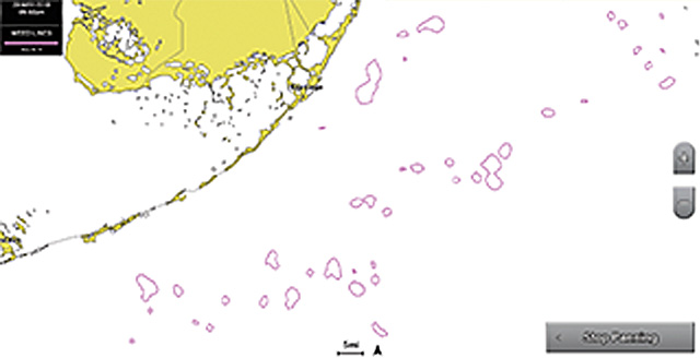
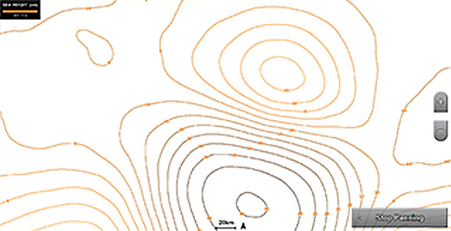
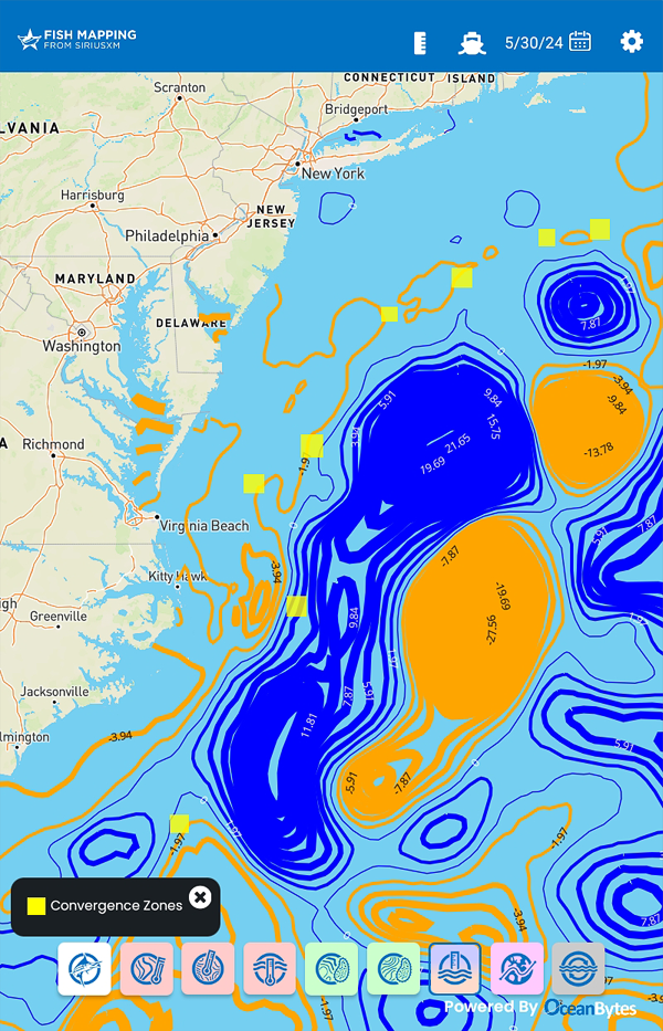
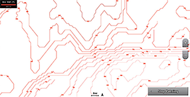
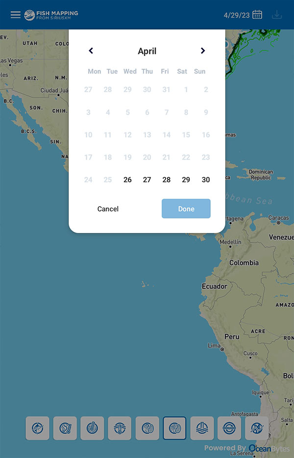
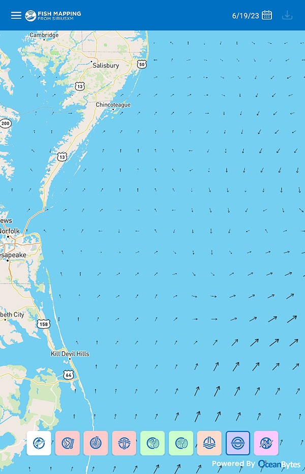
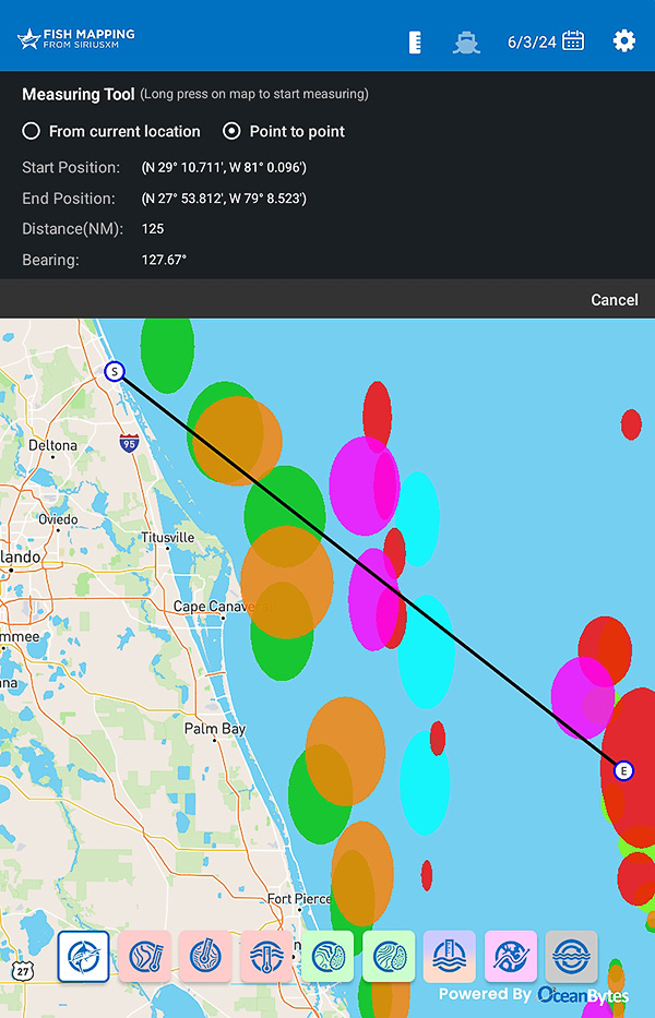
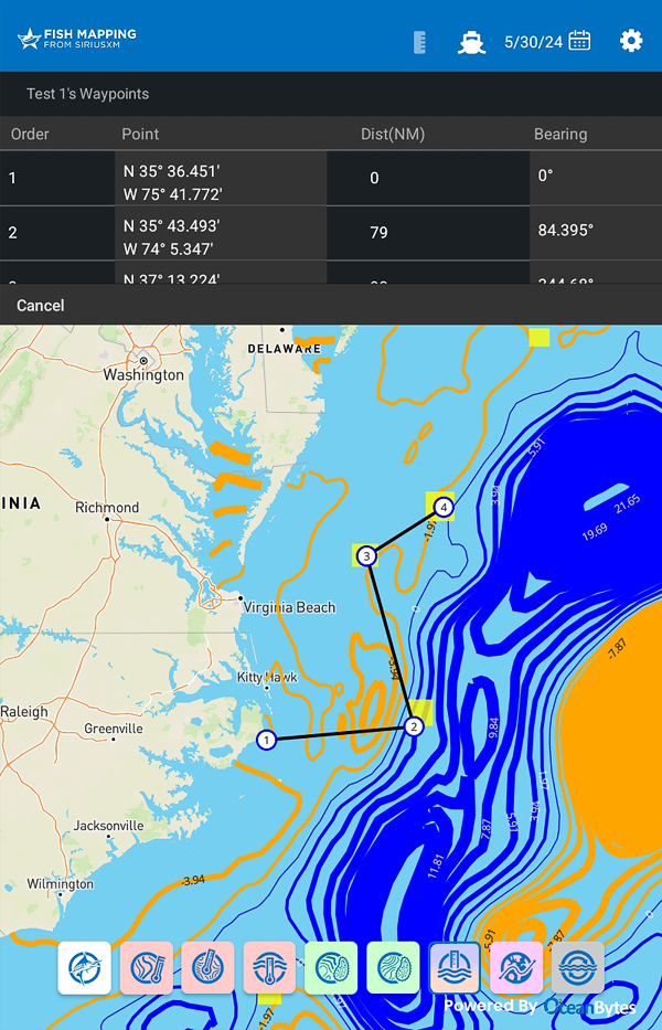
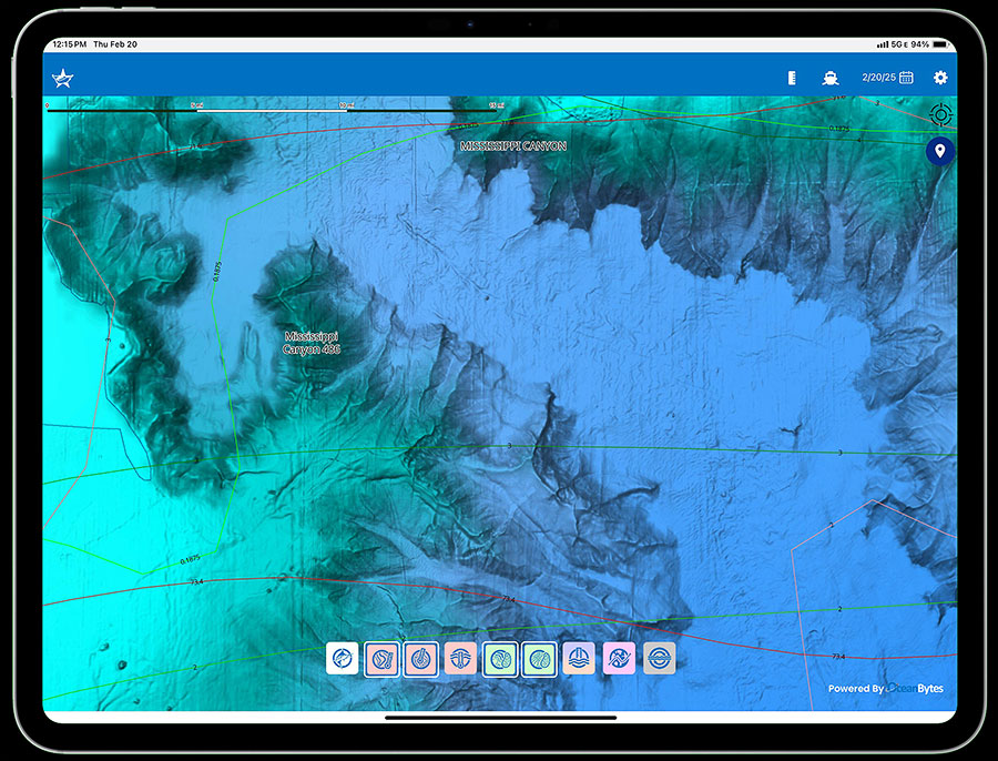
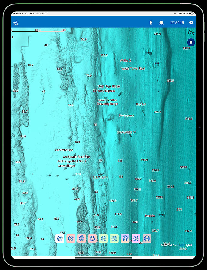
Fish Mapping App: Subscribers can view their favorite fishing features, plus app exclusive features including ocean currents, historical data, convergence zones, custom routing and a measuring tool on their phone or tablet while on shore to help plan their trip. Learn More ›


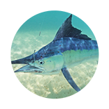
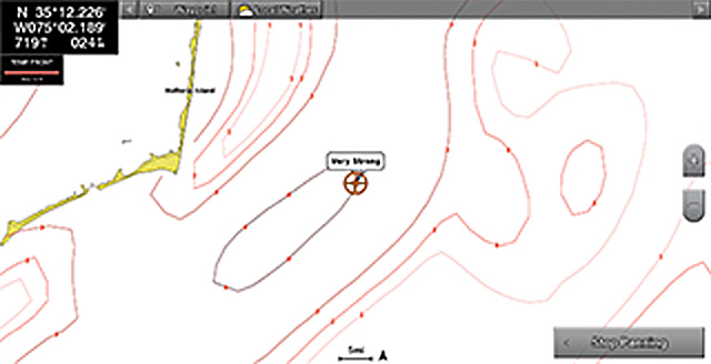
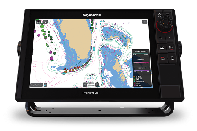
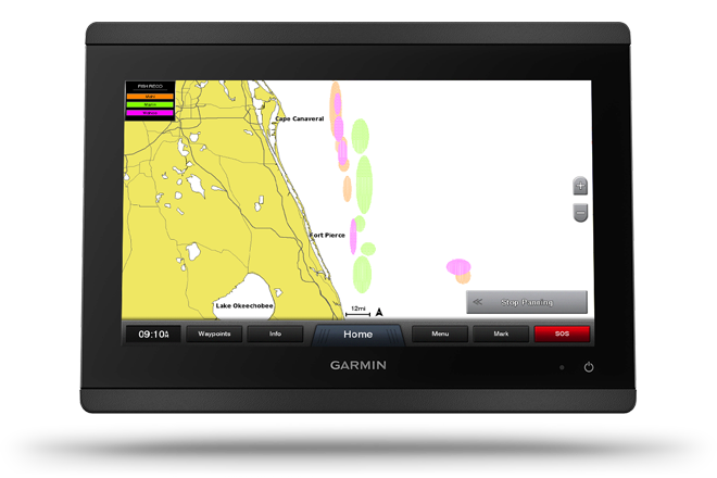
 Color coded overlays show recommended locations by species.
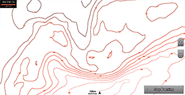
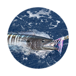
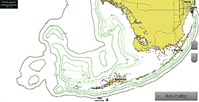
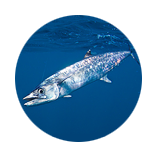
Color coded overlays show recommended locations by species.
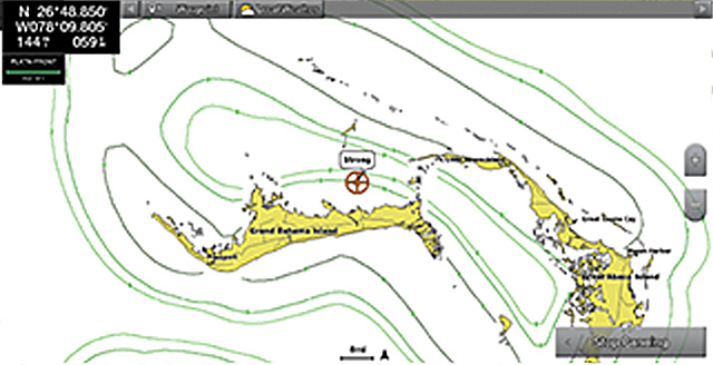
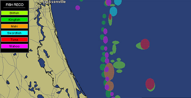
Color coded overlays show recommended locations by species.
Color coded overlays show recommended locations by species.
Color coded overlays show recommended locations by species.
Color coded overlays show recommended locations by species.
Color coded overlays show recommended locations by species.
Color coded overlays show recommended locations by species.
Color coded overlays show recommended locations by species.
Color coded overlays show recommended locations by species.
Color coded overlays show recommended locations by species.
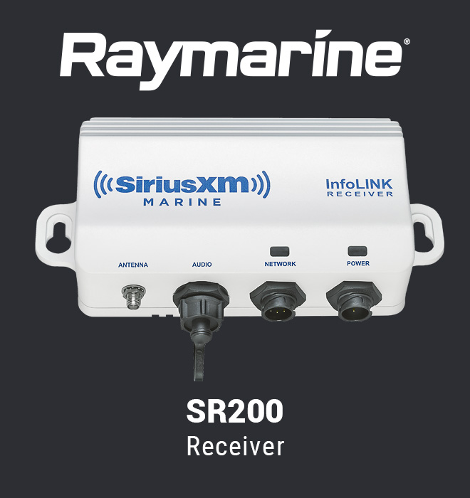
Raymarine users can access Fish Mapping with a Raymarine SR200 receiver and a compatible Raymarine display with updated software.
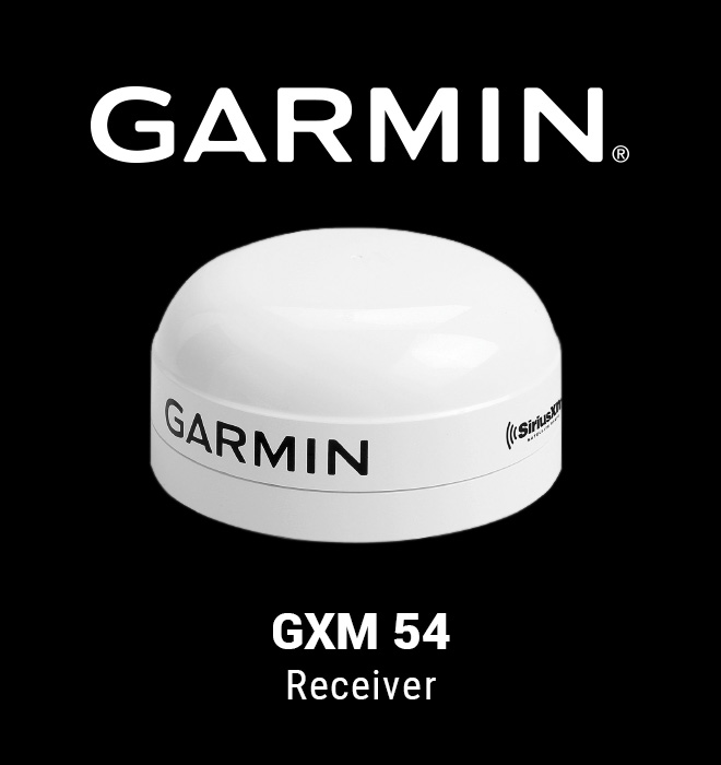
Garmin users can access Fish Mapping with a Garmin GXM™ 54 Receiver and a compatible Garmin display with updated software.
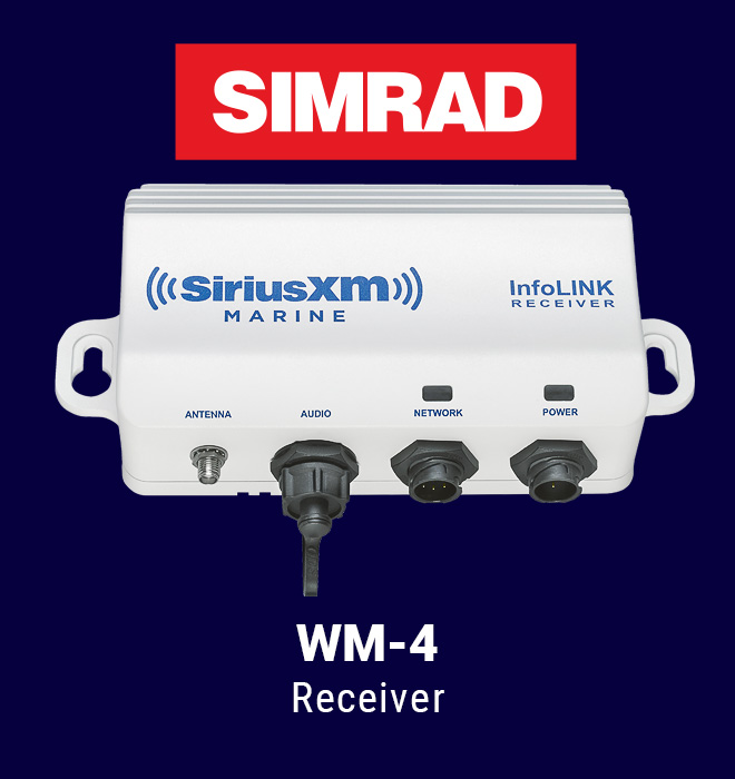
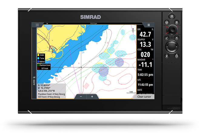
Simrad users can access Fish Mapping with a WM-4 Receiver and a compatible Simrad display with updated software.
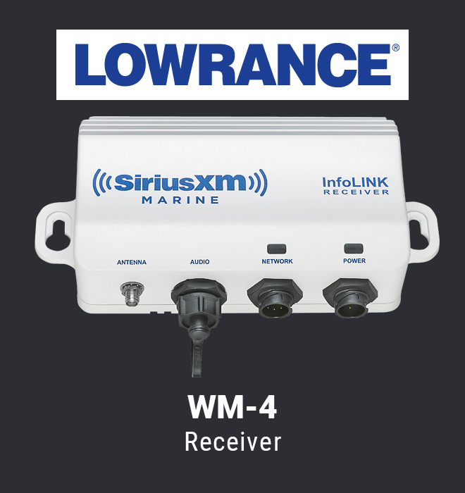
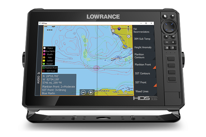
Lowrance users can access Fish Mapping with a WM-4 Receiver and a compatible Lowrance display with updated software.
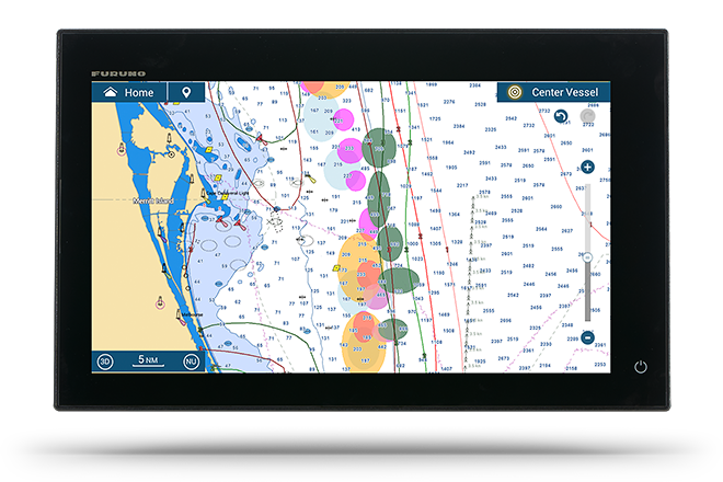
Furuno users can access Fish Mapping with a Furuno BBWX4 Receiver and a compatible Furuno display with updated software.
Subscribing to Fish Mapping is easy!
1. Purchase and install compatible hardware:
2. Call 1-800-869-5480 to subscribe and ask for your 1-month trial
$109.99/month
See Subscription Offer Details below. Initial activation fee may apply.
Subscribing to Fish Mapping is easy!
$109.99/month
See Subscription Offer Details below. Initial activation fee may apply.
1. Purchase and install compatible hardware:
2. Call 1-800-869-5480 to subscribe and ask for your 1-month trial
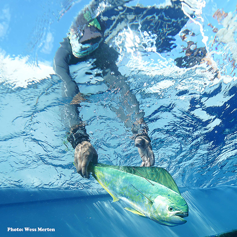
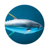
While dolphinfish, also known as mahi-mahi, are one of the most common game fish caught in the Atlantic Ocean, very little is known about the migration and overall health of the species.
The DRP is the world's largest public tagging system for dolphinfish. Since 2002, the DRP has worked with anglers around the world to tag and release dolphinfish. This data has enabled the DRP to chart the migratory nature of dolphinfish throughout the Atlantic Ocean – critical information necessary to improve dolphinfish management and ensure conservation of the species.
To support DRP and join other anglers who are tagging dolphinfish to improve our knowledge of their life history, movements, and population dynamics, request a free tagging kit at the link below. Whether you hit your daily limit or not on dolphin, if you find small fish consider tagging some for conservation.